Current Local Time in Zinda Jan, Afghanistan
| Country: | Afghanistan |
| Province: | Herat |
| Languages: | Pashto, Dari |
| Currency: | Afghani (AFN) |
| Lat/Long: | 34.3400°N / 61.7514°E |
| Elevation: | 835 m |
| Country Code: | +93 |
Weather
°CChange Units for Weather
Now
 Sunny
Sunny30 °C
Sat, 9
Sunny36 / 25 °C
Sun, 10
Sunny37 / 27 °C
Mon, 11
Sunny37 / 27 °C
Time Zone


No DST
No Daylight Saving Time in 2025
Sun & Moon

Sunrise
05:39

Sunset
19:17

Day length
13 hours, 38 minutes -1m 44s shorter

Moon 98%
Rise - 19:00 Set - 04:12
Time Zone ConverterCompare the local time of two time zones, countries or cities of the world |  |
Zinda Jan
Time Difference to major World Cities
Upcoming Holidays
Tuesday, August 19, 2025 Independence Day (National Day)
Sunday, August 31, 2025 Anniversary of the Withdrawal of Foreign Troops
Friday, September 5, 2025 The Prophet's Birthday
Tuesday, September 9, 2025 Martyrs and Ahmad Shah Masoud Day
Sunday, February 15, 2026 Liberation Day
Airports
Herat International Airport, HEA About 46 km from Zinda Jan
Sarakhs Airport, CKT About 248 km from Zinda Jan
Birjand International Airport, XBJ About 279 km from Zinda Jan
Mashhad International Airport, MHD About 285 km from Zinda Jan
Maymana Zahiraddin Faryabi Airport, MMZ About 326 km from Zinda Jan
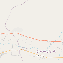
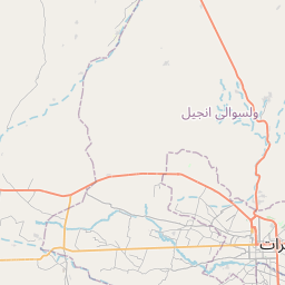
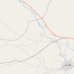
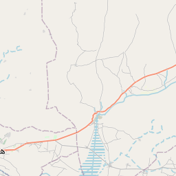
See on the Map

Major cities in the vicinity of Zinda Jan, Afghanistan
Herat ... (42 Km)
Torbat-e-Jam ... (144 Km)
Qaen ... (246 Km)
Torbat-e Heydariyeh ... (254 Km)
Gonabad ... (282 Km)
Birjand ... (286 Km)
Mashhad ... (292 Km)
Kashmar ... (317 Km)
Ferdows ... (331 Km)
Nehbandan ... (350 Km)
Tejen ... (356 Km)
Mary ... (363 Km)
Baýramaly ... (366 Km)
Zabol ... (369 Km)
Zaranj ... (376 Km)
Lashkar Gah ... (391 Km)
Quchan ... (424 Km)
Sabzevar ... (424 Km)
Tarinkot ... (427 Km)
Sheberghan ... (444 Km)
Tabas ... (452 Km)
Kandahar ... (478 Km)
Kerki ... (496 Km)
Ashgabat ... (502 Km)
Zahedan ... (545 Km)
Türkmenabat ... (552 Km)
Mazar-i-Sharif ... (552 Km)
Chaman ... (581 Km)
Termez ... (594 Km)
Qarshi ... (618 Km)
Note: The distance between two locations is provided as an aerial distance for informational purposes only. While approximate, this calculation is based on reliable data and may vary slightly from the actual distance as reported in official forecasts and advisories.


