Current Local Time in Larbaâ, Algeria
19:03:46
Tuesday, 22 July 2025
| Country: | Algeria |
| Province: | Blida |
| Languages: | Arabic, Berber, French |
| Currency: | Algerian Dinar (DZD) |
| Lat/Long: | 36.5652°N / 3.1540°E |
| Elevation: | 104 m |
| Country Code: | +213 |
Weather
°C
Change Units for Weather
Now

Partly cloudy
29 °C
Wed, 23

Sunny
32 / 24 °C
Thu, 24
Partly Cloudy
33 / 25 °C
Fri, 25

Patchy rain nearby
29 / 24 °C
Time Zone


No DST
No Daylight Saving Time in 2025
Sun & Moon

Sunrise
05:46

Sunset
20:01

Day length
14 hours, 14 minutes -1m 25s shorter

Moon 10%
Rise - 02:44 Set - 18:32
Time Zone ConverterCompare the local time of two time zones, countries or cities of the world |  |
Larbaâ
Time Difference to major World Cities
Upcoming Holidays
Friday, September 5, 2025 The Prophet's Birthday
Saturday, November 1, 2025 Anniversary of the Revolution
Thursday, January 1, 2026 New Year's Day
Monday, January 12, 2026 Berber New Year
Friday, March 20, 2026 Eid al-Fitr
Airports
Houari Boumediene Airport, ALG About 15 km from Larbaâ
Blida Airport, QLD About 31 km from Larbaâ
Bou Saada Airport, BUJ About 167 km from Larbaâ
Chlef Aboubakr Belkaid International Airport, CFK About 167 km from Larbaâ
Soummam – Abane Ramdane Airport, BJA About 172 km from Larbaâ
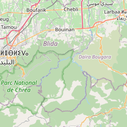
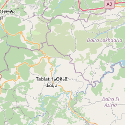
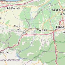
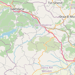
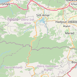
See on the Map

Major cities in the vicinity of Larbaâ, Algeria
Algiers ... (23 Km)
Bouïra ... (69 Km)
Bou Saâda ... (176 Km)
Djelfa ... (211 Km)
El Eulma ... (232 Km)
Jijel ... (234 Km)
Batna ... (294 Km)
Biskra ... (301 Km)
Laghouat ... (308 Km)
Palma ... (337 Km)
Dénia ... (369 Km)
Alicante ... (378 Km)
Cartagena ... (386 Km)
Gandia ... (397 Km)
Alcoy ... (398 Km)
Murcia ... (411 Km)
Villena ... (422 Km)
Lorca ... (447 Km)
Valencia ... (447 Km)
Ghardaïa ... (456 Km)
Tébessa ... (465 Km)
Touggourt ... (468 Km)
Castelló de la Plana ... (472 Km)
El Oued ... (490 Km)
El Kef ... (499 Km)
Almería ... (502 Km)
Oujda ... (503 Km)
Albacete ... (517 Km)
Tarragona ... (533 Km)
Kasserine ... (535 Km)
Note: The distance between two locations is provided as an aerial distance for informational purposes only. While approximate, this calculation is based on reliable data and may vary slightly from the actual distance as reported in official forecasts and advisories.


