Current Local Time in Uaco Cungo, Angola (Waco Kungo)
19:21:59
Tuesday, 22 July 2025
| Country: | Angola |
| Province: | Cuanza Sul |
| Languages: | Portuguese |
| Currency: | Kwanza (AOA) |
| Lat/Long: | 11.3618°S / 15.1200°E |
| Elevation: | 1475 m |
| Country Code: | +244 |
Weather
°C
Change Units for Weather
Now

Clear
21 °C
Wed, 23

Sunny
30 / 13 °C
Thu, 24
Sunny
31 / 14 °C
Fri, 25
Sunny
32 / 14 °C
Time Zone


No DST
No Daylight Saving Time in 2025
Sun & Moon

Sunrise
06:19

Sunset
17:52

Day length
11 hours, 32 minutes +21s longer

Moon 10%
Rise - 03:59 Set - 15:37
Time Zone ConverterCompare the local time of two time zones, countries or cities of the world |  |
Uaco Cungo
Time Difference to major World Cities
Upcoming Holidays
Wednesday, September 17, 2025 National Hero Day
Sunday, November 2, 2025 All Souls' Day
Monday, November 10, 2025 Day off for Independence Day
Tuesday, November 11, 2025 Independence Day
Thursday, December 25, 2025 Christmas Day
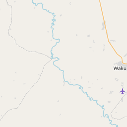
Airports
Sumbe Airport, NDD About 140 km from Uaco Cungo
Porto Amboim Airport, PBN About 164 km from Uaco Cungo
Nova Lisboa Airport, NOV About 175 km from Uaco Cungo
Catumbela Airport, CBT About 217 km from Uaco Cungo
Kuito Airport, SVP About 230 km from Uaco Cungo
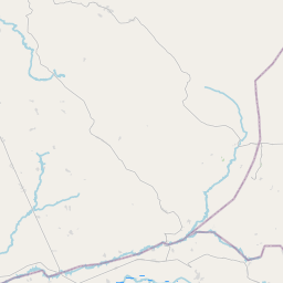
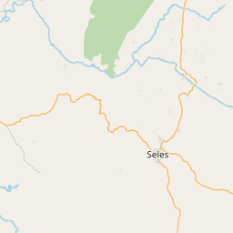
See on the Map
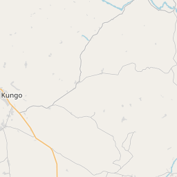

Major cities in the vicinity of Uaco Cungo, Angola
Sumbe ... (140 Km)
Huambo ... (171 Km)
Kuito ... (229 Km)
Benguela ... (230 Km)
Malanje ... (242 Km)
Luanda ... (351 Km)
Lubango ... (432 Km)
Menongue ... (461 Km)
Luena ... (524 Km)
Namibe ... (534 Km)
Saurimo ... (606 Km)
Matadi ... (643 Km)
Mbanza-Ngungu ... (680 Km)
Opuwo ... (757 Km)
Gungu ... (775 Km)
Kinshasa ... (783 Km)
Brazzaville ... (789 Km)
Kikwit ... (812 Km)
Note: The distance between two locations is provided as an aerial distance for informational purposes only. While approximate, this calculation is based on reliable data and may vary slightly from the actual distance as reported in official forecasts and advisories.


