Current Local Time in Dumont d'Urville Station, Antarctica
13:12:42
Friday, 25 July 2025
| Country: | Antarctica |
| Languages: | N/A |
| Currency: | N/A |
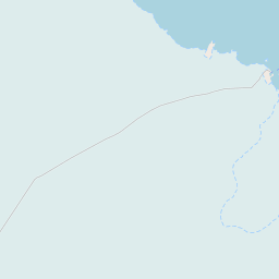
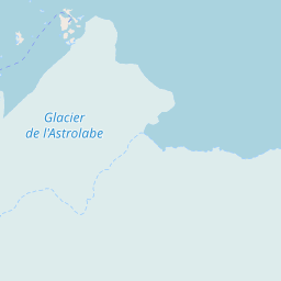
| Lat/Long: | 66.6636°S / 140.0033°E |
| Elevation: | 202 m |
| Country Code: | N/A |
Weather
°C
Change Units for Weather
Now

N/A
N/A
Sat, 26
N/A
N/A
Sun, 27
N/A
N/A
Mon, 28
N/A
N/A
Time Zone


No DST
No Daylight Saving Time in 2025
Sun & Moon

Sunrise
10:15

Sunset
15:17

Day length
05 hours, 02 minutes +7m 20s longer

Moon - N/A
N/A
Time Zone ConverterCompare the local time of two time zones, countries or cities of the world |  |
Dumont d'Urville Station
Time Difference to major World Cities
Airports
Hobart International Airport, HBA About 2688 km from Dumont d'Urville Station
Invercargill Airport, IVC About 2792 km from Dumont d'Urville Station
Launceston Airport, LST About 2828 km from Dumont d'Urville Station
Manapouri Airport, TEU About 2858 km from Dumont d'Urville Station
Devonport Airport, DPO About 2862 km from Dumont d'Urville Station
See on the Map


Major cities in the vicinity of Dumont d'Urville Station, Antarctica
Hobart ... (2681 Km)
Invercargill ... (2793 Km)
Launceston ... (2839 Km)
Devonport ... (2861 Km)
Burnie ... (2871 Km)
Dunedin ... (2920 Km)
Timaru ... (3094 Km)
Geelong ... (3183 Km)
Melbourne ... (3223 Km)
Christchurch ... (3229 Km)
Ballarat ... (3245 Km)
Bendigo ... (3336 Km)
Shepparton ... (3385 Km)
Wangaratta ... (3393 Km)
Note: The distance between two locations is provided as an aerial distance for informational purposes only. While approximate, this calculation is based on reliable data and may vary slightly from the actual distance as reported in official forecasts and advisories.


