Current Local Time in Benowa, Queensland, Australia
23:59:52
Saturday, 26 July 2025
| Country: | Australia |
| State: | Queensland (Qld) |
| Languages: | English |
| Currency: | Australian Dollar (AUD) |
| Lat/Long: | 28.0083°S / 153.3872°E |
| Elevation: | 6 m |
| Country Code: | +61 |
Weather
°C
Change Units for Weather
Now

Clear
14 °C
Sun, 27

Sunny
19 / 12 °C
Mon, 28
Sunny
19 / 10 °C
Tue, 29

Partly Cloudy
22 / 14 °C
Time Zone


No DST
No Daylight Saving Time in 2025
Sun & Moon

Sunrise
06:32

Sunset
17:13

Day length
10 hours, 41 minutes +1m 3s longer

Moon 6%
Rise - 08:08 Set - 19:39
Time Zone ConverterCompare the local time of two time zones, countries or cities of the world |  |
Benowa
Time Difference to major World Cities
Upcoming Holidays
Wednesday, August 13, 2025 Royal National Agricultural Show Day (Ekka)
Monday, October 6, 2025 King's Birthday
Wednesday, December 24, 2025 Christmas Eve
Thursday, December 25, 2025 Christmas Day
Friday, December 26, 2025 Boxing Day
Airports
Gold Coast Airport, OOL About 21 km from Benowa
Brisbane International Airport, BNE About 74 km from Benowa
Lismore Airport, LSY About 92 km from Benowa
Ballina Byron Gateway Airport, BNK About 93 km from Benowa
Sunshine Coast Airport, MCY About 160 km from Benowa
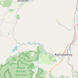
See on the Map
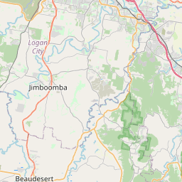

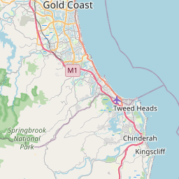


Major cities in the vicinity of Benowa, Australia
Gold Coast ... (2 Km)
Brisbane ... (70 Km)
Toowoomba ... (150 Km)
Sunshine Coast ... (154 Km)
Coffs Harbour ... (256 Km)
Bundaberg ... (364 Km)
Gladstone ... (510 Km)
Newcastle ... (568 Km)
Rockhampton ... (590 Km)
Gosford ... (633 Km)
Dubbo ... (658 Km)
Sydney ... (684 Km)
Bathurst ... (702 Km)
Orange ... (716 Km)
Wollongong ... (752 Km)
Shellharbour ... (769 Km)
Goulburn ... (827 Km)
Note: The distance between two locations is provided as an aerial distance for informational purposes only. While approximate, this calculation is based on reliable data and may vary slightly from the actual distance as reported in official forecasts and advisories.


