Current Local Time in Campsie, New South Wales, Australia
00:42:50
Sunday, 27 July 2025
| Country: | Australia |
| State: | New South Wales (NSW) |
| Languages: | English |
| Currency: | Australian Dollar (AUD) |
| Lat/Long: | 33.9087°S / 151.1010°E |
| Elevation: | 32 m |
| Country Code: | +61 |
Weather
°C
Change Units for Weather
Now

Clear
14 °C
Mon, 28

Partly Cloudy
16 / 9 °C
Tue, 29
Partly Cloudy
17 / 8 °C
Wed, 30

Patchy rain nearby
15 / 9 °C
Time Zone


DST ended
6 Apr 2025 Back 1 hour From 3:00 AM to 2:00 AM

DST starts
5 Oct 2025 Forward 1 hour From 2:00 AM to 3:00 AM
Sun & Moon

Sunrise
06:52

Sunset
17:12

Day length
10 hours, 19 minutes +1m 23s longer

Moon 6%
Rise - 08:25 Set - 19:43
Time Zone ConverterCompare the local time of two time zones, countries or cities of the world |  |
Campsie
Time Difference to major World Cities
Upcoming Holidays
Monday, October 6, 2025 Labour Day
Thursday, December 25, 2025 Christmas Day
Friday, December 26, 2025 Boxing Day
Thursday, January 1, 2026 New Year's Day
Monday, January 26, 2026 Australia Day
Airports
Sydney Airport, SYD About 8 km from Campsie
Sydney Bankstown Airport, BWU About 10 km from Campsie
Camden Airport, CDU About 41 km from Campsie
Shellharbour Airport, WOL About 78 km from Campsie
Newcastle Airport, NTL About 141 km from Campsie
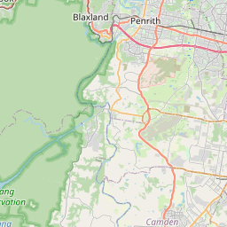
See on the Map
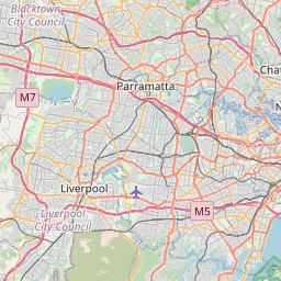
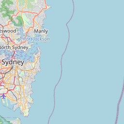


Major cities in the vicinity of Campsie, Australia
Sydney ... (11 Km)
Gosford ... (58 Km)
Wollongong ... (60 Km)
Shellharbour ... (78 Km)
Newcastle ... (126 Km)
Bathurst ... (151 Km)
Goulburn ... (158 Km)
Orange ... (199 Km)
Canberra ... (236 Km)
Dubbo ... (297 Km)
Coffs Harbour ... (444 Km)
Griffith ... (469 Km)
Wangaratta ... (514 Km)
Shepparton ... (586 Km)
Gold Coast ... (691 Km)
Bendigo ... (695 Km)
Melbourne ... (703 Km)
Toowoomba ... (711 Km)
Brisbane ... (739 Km)
Geelong ... (768 Km)
Ballarat ... (770 Km)
Mildura ... (826 Km)
Note: The distance between two locations is provided as an aerial distance for informational purposes only. While approximate, this calculation is based on reliable data and may vary slightly from the actual distance as reported in official forecasts and advisories.


