Current Local Time in Rostrevor, South Australia, Australia
23:06:23
Wednesday, 23 July 2025
| Country: | Australia |
| State: | South Australia (SA) |
| Languages: | English |
| Currency: | Australian Dollar (AUD) |
| Lat/Long: | 34.8939°S / 138.6924°E |
| Elevation: | 137 m |
| Country Code: | +61 |
Weather
°C
Change Units for Weather
Now

Clear
8 °C
Thu, 24

Overcast
15 / 7 °C
Fri, 25

Heavy rain
10 / 8 °C
Sat, 26

Moderate rain
12 / 10 °C
Time Zone


DST ended
6 Apr 2025 Back 1 hour From 3:00 AM to 2:00 AM

DST starts
5 Oct 2025 Forward 1 hour From 2:00 AM to 3:00 AM
Sun & Moon

Sunrise
07:16

Sunset
17:26

Day length
10 hours, 10 minutes +1m 18s longer

Moon 4%
Rise - 06:03 Set - 15:31
Time Zone ConverterCompare the local time of two time zones, countries or cities of the world |  |
Rostrevor
Time Difference to major World Cities
Upcoming Holidays
Monday, October 6, 2025 Labour Day
Wednesday, December 24, 2025 Christmas Eve
Thursday, December 25, 2025 Christmas Day
Friday, December 26, 2025 Boxing Day
Friday, December 26, 2025 Proclamation Day
Airports
Adelaide International Airport, ADL About 16 km from Rostrevor
Kingscote Airport, KGC About 140 km from Rostrevor
Port Pirie Airport, PPI About 195 km from Rostrevor
Renmark Airport, RMK About 197 km from Rostrevor
Whyalla Airport, WYA About 231 km from Rostrevor
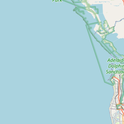
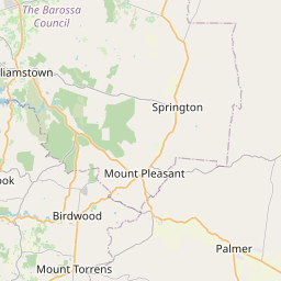
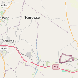
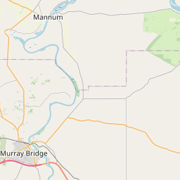
See on the Map
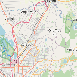
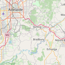


Major cities in the vicinity of Rostrevor, Australia
Adelaide ... (9 Km)
Mount Barker ... (25 Km)
Murray Bridge ... (59 Km)
Berri ... (188 Km)
Port Lincoln ... (259 Km)
Port Augusta ... (280 Km)
Mildura ... (325 Km)
Broken Hill ... (415 Km)
Bendigo ... (545 Km)
Ballarat ... (549 Km)
Geelong ... (622 Km)
Shepparton ... (629 Km)
Melbourne ... (648 Km)
Griffith ... (675 Km)
Wangaratta ... (708 Km)
Burnie ... (931 Km)
Note: The distance between two locations is provided as an aerial distance for informational purposes only. While approximate, this calculation is based on reliable data and may vary slightly from the actual distance as reported in official forecasts and advisories.


