Current Local Time in West End, Queensland, Australia
16:54:26
Tuesday, 22 July 2025
| Country: | Australia |
| State: | Queensland (Qld) |
| Languages: | English |
| Currency: | Australian Dollar (AUD) |
| Lat/Long: | 27.481°S / 153.0121°E |
| Elevation: | 16 m |
| Country Code: | +61 |
Weather
°C
Change Units for Weather
Now

Partly cloudy
19 °C
Wed, 23

Moderate rain
19 / 13 °C
Thu, 24

Sunny
19 / 10 °C
Fri, 25
Sunny
19 / 9 °C
Time Zone


No DST
No Daylight Saving Time in 2025
Sun & Moon

Sunrise
06:34

Sunset
17:13

Day length
10 hours, 39 minutes +55s longer

Moon 10%
Rise - 04:04 Set - 14:19
Time Zone ConverterCompare the local time of two time zones, countries or cities of the world |  |
West End
Time Difference to major World Cities
Upcoming Holidays
Wednesday, August 13, 2025 Royal National Agricultural Show Day (Ekka)
Monday, October 6, 2025 King's Birthday
Wednesday, December 24, 2025 Christmas Eve
Thursday, December 25, 2025 Christmas Day
Friday, December 26, 2025 Boxing Day
Airports
Brisbane International Airport, BNE About 15 km from West End
Gold Coast Airport, OOL About 90 km from West End
Sunshine Coast Airport, MCY About 99 km from West End
Toowoomba Wellcamp Airport, WTB About 120 km from West End
Lismore Airport, LSY About 152 km from West End
See on the Map
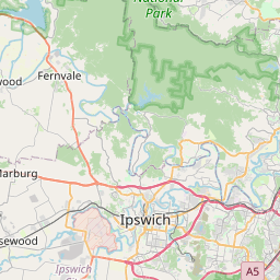
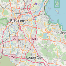

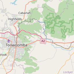


Major cities in the vicinity of West End, Australia
Brisbane ... (2 Km)
Gold Coast ... (71 Km)
Sunshine Coast ... (93 Km)
Toowoomba ... (105 Km)
Bundaberg ... (298 Km)
Coffs Harbour ... (313 Km)
Gladstone ... (442 Km)
Rockhampton ... (521 Km)
Newcastle ... (617 Km)
Dubbo ... (678 Km)
Gosford ... (680 Km)
Sydney ... (731 Km)
Bathurst ... (737 Km)
Orange ... (747 Km)
Wollongong ... (798 Km)
Mackay ... (804 Km)
Note: The distance between two locations is provided as an aerial distance for informational purposes only. While approximate, this calculation is based on reliable data and may vary slightly from the actual distance as reported in official forecasts and advisories.


