Current Local Time in Kétou, Benin
08:48:33
Friday, 25 July 2025
| Country: | Benin |
| Department: | Plateau |
| Languages: | French |
| Currency: | West African CFA Franc (XOF) |
| Lat/Long: | 7.3603°N / 2.6040°E |
| Elevation: | 98 m |
| Country Code: | +229 |
| Holiday Note: Aug 01 - Independence Day. The Businesses may be closed. |
Weather
°C
Change Units for Weather
Now

Partly Cloudy
22 °C
Sat, 26

Patchy rain nearby
27 / 20 °C
Sun, 27
Patchy rain nearby
28 / 21 °C
Mon, 28
Patchy rain nearby
28 / 21 °C
Time Zone


No DST
No Daylight Saving Time in 2025
Sun & Moon

Sunrise
06:42

Sunset
19:09

Day length
12 hours, 27 minutes -15s shorter

Moon 0%
Rise - 07:12 Set - 20:00
Time Zone ConverterCompare the local time of two time zones, countries or cities of the world |  |
Kétou
Time Difference to major World Cities
Upcoming Holidays
Friday, August 1, 2025 Independence Day
Friday, August 15, 2025 Assumption Day
Friday, September 5, 2025 Maouloud
Saturday, November 1, 2025 All Saints' Day
Thursday, December 25, 2025 Christmas Day
Airports
Cadjehoun Airport, COO About 114 km from Kétou
Murtala Muhammed International Airport, LOS About 118 km from Kétou
Ibadan Airport, IBA About 152 km from Kétou
Lomé–Tokoin International Airport, LFW About 200 km from Kétou
Ilorin International Airport, ILR About 240 km from Kétou
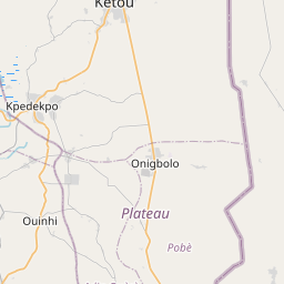
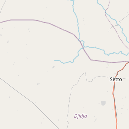
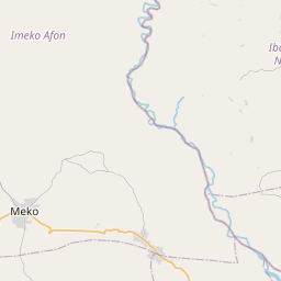
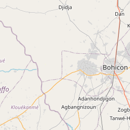
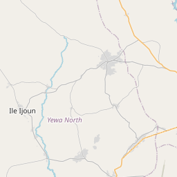
See on the Map

Major cities in the vicinity of Kétou, Benin
Porto-Novo ... (96 Km)
Cotonou ... (112 Km)
Lagos ... (133 Km)
Ibadan ... (144 Km)
Tchaourou ... (170 Km)
Lomé ... (205 Km)
Parakou ... (221 Km)
Sokodé ... (241 Km)
Ilorin ... (249 Km)
Kara ... (288 Km)
Tema ... (345 Km)
Koforidua ... (347 Km)
Benin City ... (350 Km)
Natitingou ... (353 Km)
Accra ... (369 Km)
Warri ... (404 Km)
Tamale ... (442 Km)
Kumasi ... (472 Km)
Asaba ... (474 Km)
Cape Coast ... (494 Km)
Techiman ... (501 Km)
Owerri ... (531 Km)
Sunyani ... (545 Km)
Enugu ... (550 Km)
Takoradi ... (556 Km)
Port Harcourt ... (566 Km)
Abuja ... (570 Km)
Berekum ... (572 Km)
Fada N'gourma ... (577 Km)
Bondoukou ... (601 Km)
Note: The distance between two locations is provided as an aerial distance for informational purposes only. While approximate, this calculation is based on reliable data and may vary slightly from the actual distance as reported in official forecasts and advisories.


