Current Local Time in St. George's, Bermuda
21:25:49
Thursday, 24 July 2025
| Country: | United Kingdom |
| Overseas territory: | Bermuda |
| Languages: | English |
| Currency: | Bermudian Dollar (BMD) |
| Lat/Long: | 32.3820°N / 64.6770°W |
| Elevation: | 11 m |
| Country Code: | +1 |
| Holiday Note: Jul 31 - Emancipation Day. The Businesses may be closed. |
Weather
°C
Change Units for Weather
Now

Partly cloudy
26 °C
Fri, 25

Patchy rain nearby
27 / 26 °C
Sat, 26

Partly Cloudy
28 / 26 °C
Sun, 27

Moderate rain
29 / 27 °C
Time Zone


DST started
9 Mar 2025 Forward 1 hour From 2:00 AM to 3:00 AM

DST ends
2 Nov 2025 Back 1 hour From 2:00 AM to 1:00 AM
Sun & Moon

Sunrise
06:28

Sunset
20:21

Day length
13 hours, 53 minutes -1m 15s shorter

Moon 1%
Rise - 05:58 Set - 20:39
Time Zone ConverterCompare the local time of two time zones, countries or cities of the world |  |
St. George's
Time Difference to major World Cities
Upcoming Holidays
Thursday, July 31, 2025 Emancipation Day
Friday, August 1, 2025 Mary Prince Day
Monday, September 1, 2025 Labour Day
Tuesday, November 11, 2025 Remembrance Day
Thursday, December 25, 2025 Christmas Day
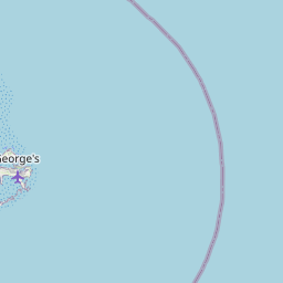
Airports
L.F. Wade International International Airport, BDA About 2 km from St. George's
Nantucket Memorial Airport, ACK About 1096 km from St. George's
Elizabeth City Regional Airport, ECG About 1140 km from St. George's
Barnstable Municipal Boardman Polando Field, HYA About 1146 km from St. George's
Oceana Naval Air Station, NTU About 1150 km from St. George's
See on the Map
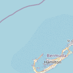


Major cities in the vicinity of St. George's, Bermuda
Hamilton ... (14 Km)
Virginia Beach ... (1146 Km)
Norfolk ... (1172 Km)
Providence ... (1207 Km)
New Haven ... (1233 Km)
Boston ... (1244 Km)
Wilmington ... (1244 Km)
New York ... (1245 Km)
Stamford ... (1245 Km)
Newark ... (1256 Km)
Yonkers ... (1256 Km)
Hartford ... (1260 Km)
Philadelphia ... (1261 Km)
Worcester ... (1265 Km)
Note: The distance between two locations is provided as an aerial distance for informational purposes only. While approximate, this calculation is based on reliable data and may vary slightly from the actual distance as reported in official forecasts and advisories.


