Current Local Time in Capim Grosso, Bahia, Brazil
08:31:49
Saturday, 26 July 2025
| Country: | Brazil |
| State: | Bahia (BA) |
| Languages: | Portuguese |
| Currency: | Real (BRL) |
| Lat/Long: | 11.3796°S / 40.0115°W |
| Elevation: | 415 m |
| Country Code: | +55 |
Weather
°C
Change Units for Weather
Now

Patchy rain nearby
17 °C
Sun, 27
Patchy rain nearby
27 / 14 °C
Mon, 28

Partly Cloudy
29 / 14 °C
Tue, 29

Sunny
31 / 13 °C
Time Zone


No DST
No Daylight Saving Time in 2025
Sun & Moon

Sunrise
05:59

Sunset
17:33

Day length
11 hours, 34 minutes +24s longer

Moon 2%
Rise - 07:27 Set - 19:26
Time Zone ConverterCompare the local time of two time zones, countries or cities of the world |  |
Capim Grosso
Time Difference to major World Cities
Upcoming Holidays
Sunday, September 7, 2025 Independence Day
Sunday, October 12, 2025 Our Lady of Aparecida / Children's Day
Tuesday, October 28, 2025 Public Service Holiday
Sunday, November 2, 2025 All Souls' Day
Saturday, November 15, 2025 Republic Proclamation Day
Airports
Senador Nilo Coelho Airport, PNZ About 232 km from Capim Grosso
Salvador – Deputado Luís Eduardo Magalhães International Airport, SSA About 250 km from Capim Grosso
Paulo Afonso Airport, PAV About 292 km from Capim Grosso
Aracaju - Santa Maria International Airport, AJU About 324 km from Capim Grosso
Bahia - Jorge Amado Airport, IOS About 397 km from Capim Grosso
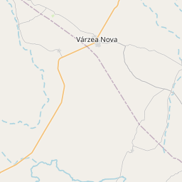
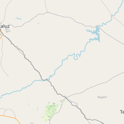
See on the Map
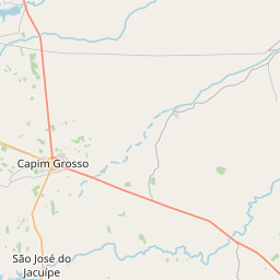

Major cities in the vicinity of Capim Grosso, Brazil
Feira de Santana ... (150 Km)
Salvador ... (242 Km)
Jequié ... (276 Km)
Aracaju ... (325 Km)
Itabuna ... (388 Km)
Ilhéus ... (395 Km)
Vitória da Conquista ... (398 Km)
Maceió ... (505 Km)
Barreiras ... (549 Km)
Porto Seguro ... (572 Km)
Luís Eduardo Magalhães ... (633 Km)
Januária ... (656 Km)
Recife ... (673 Km)
Teixeira de Freitas ... (686 Km)
Montes Claros ... (726 Km)
João Pessoa ... (736 Km)
Teófilo Otoni ... (738 Km)
Teresina ... (763 Km)
Natal ... (817 Km)
Note: The distance between two locations is provided as an aerial distance for informational purposes only. While approximate, this calculation is based on reliable data and may vary slightly from the actual distance as reported in official forecasts and advisories.


