Current Local Time in Ibateguara, Alagoas, Brazil
12:46:15
Wednesday, 30 July 2025
| Country: | Brazil |
| State: | Alagoas (AL) |
| Languages: | Portuguese |
| Currency: | Real (BRL) |
| Lat/Long: | 8.9733°S / 35.9306°W |
| Elevation: | 488 m |
| Country Code: | +55 |
Weather
°C
Change Units for Weather
Now

Light rain shower
26 °C
Thu, 31

Patchy rain nearby
26 / 17 °C
Fri, 1

Moderate rain
25 / 16 °C
Sat, 2
Moderate rain
24 / 17 °C
Time Zone


No DST
No Daylight Saving Time in 2025
Sun & Moon

Sunrise
05:38

Sunset
17:21

Day length
11 hours, 42 minutes +21s longer

Moon 27%
Rise - 09:40 Set - 22:12
Time Zone ConverterCompare the local time of two time zones, countries or cities of the world |  |
Ibateguara
Time Difference to major World Cities
Upcoming Holidays
Sunday, September 7, 2025 Independence Day
Sunday, October 12, 2025 Our Lady of Aparecida / Children's Day
Tuesday, October 28, 2025 Public Service Holiday
Sunday, November 2, 2025 All Souls' Day
Saturday, November 15, 2025 Republic Proclamation Day
Airports
Zumbi dos Palmares Airport, MCZ About 62 km from Ibateguara
Recife/Guararapes - Gilberto Freyre International Airport, REC About 145 km from Ibateguara
Presidente João Suassuna Airport, CPV About 189 km from Ibateguara
Presidente Castro Pinto International Airport, JPA About 230 km from Ibateguara
Aracaju - Santa Maria International Airport, AJU About 256 km from Ibateguara
See on the Map
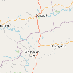
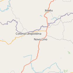
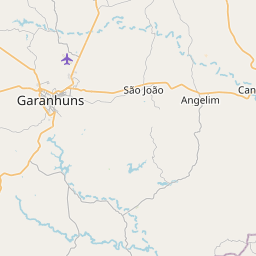
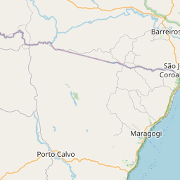

Major cities in the vicinity of Ibateguara, Brazil
Maceió ... (80 Km)
Recife ... (154 Km)
João Pessoa ... (236 Km)
Aracaju ... (251 Km)
Natal ... (364 Km)
Feira de Santana ... (493 Km)
Salvador ... (526 Km)
Fortaleza ... (649 Km)
Jequié ... (707 Km)
Ilhéus ... (730 Km)
Itabuna ... (743 Km)
Vitória da Conquista ... (845 Km)
Teresina ... (872 Km)
Porto Seguro ... (898 Km)
Note: The distance between two locations is provided as an aerial distance for informational purposes only. While approximate, this calculation is based on reliable data and may vary slightly from the actual distance as reported in official forecasts and advisories.


