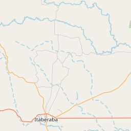
Current Local Time in Itaberaba, Bahia, Brazil
03:37:27
Friday, 25 July 2025
| Country: | Brazil |
| State: | Bahia (BA) |
| Languages: | Portuguese |
| Currency: | Real (BRL) |
| Lat/Long: | 12.5308°S / 40.3084°W |
| Elevation: | 274 m |
| Country Code: | +55 |
Weather
°C
Change Units for Weather
Now

Fog
17 °C
Sat, 26

Patchy rain nearby
24 / 15 °C
Sun, 27
Patchy rain nearby
29 / 15 °C
Mon, 28

Sunny
31 / 15 °C
Time Zone


No DST
No Daylight Saving Time in 2025
Sun & Moon

Sunrise
06:02

Sunset
17:33

Day length
11 hours, 30 minutes +26s longer

Moon 0%
Rise - 06:43 Set - 18:30
Time Zone ConverterCompare the local time of two time zones, countries or cities of the world |  |
Itaberaba
Time Difference to major World Cities
Upcoming Holidays
Sunday, September 7, 2025 Independence Day
Sunday, October 12, 2025 Our Lady of Aparecida / Children's Day
Tuesday, October 28, 2025 Public Service Holiday
Sunday, November 2, 2025 All Souls' Day
Saturday, November 15, 2025 Republic Proclamation Day
Airports
Salvador – Deputado Luís Eduardo Magalhães International Airport, SSA About 219 km from Itaberaba
Glauber de Andrade Rocha Airport, VDC About 272 km from Itaberaba
Bahia - Jorge Amado Airport, IOS About 289 km from Itaberaba
Bom Jesus da Lapa Airport, LAZ About 346 km from Itaberaba
Senador Nilo Coelho Airport, PNZ About 353 km from Itaberaba
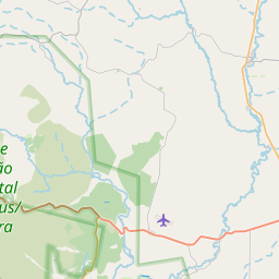
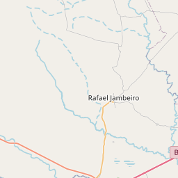
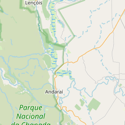
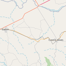
See on the Map

Major cities in the vicinity of Itaberaba, Brazil
Feira de Santana ... (150 Km)
Jequié ... (150 Km)
Salvador ... (202 Km)
Vitória da Conquista ... (266 Km)
Itabuna ... (275 Km)
Ilhéus ... (287 Km)
Aracaju ... (395 Km)
Porto Seguro ... (455 Km)
Barreiras ... (511 Km)
Januária ... (547 Km)
Teixeira de Freitas ... (560 Km)
Maceió ... (592 Km)
Luís Eduardo Magalhães ... (596 Km)
Montes Claros ... (604 Km)
Teófilo Otoni ... (606 Km)
Governador Valadares ... (725 Km)
Recife ... (774 Km)
Formosa ... (829 Km)
Note: The distance between two locations is provided as an aerial distance for informational purposes only. While approximate, this calculation is based on reliable data and may vary slightly from the actual distance as reported in official forecasts and advisories.


