Current Local Time in Lagarto, Sergipe, Brazil
18:29:16
Sunday, 27 July 2025
| Country: | Brazil |
| State: | Sergipe (SE) |
| Languages: | Portuguese |
| Currency: | Real (BRL) |
| Lat/Long: | 10.9168°S / 37.6692°W |
| Elevation: | 183 m |
| Country Code: | +55 |
Weather
°C
Change Units for Weather
Now

Clear
20 °C
Mon, 28

Patchy rain nearby
28 / 18 °C
Tue, 29
Patchy rain nearby
27 / 19 °C
Wed, 30
Patchy rain nearby
28 / 19 °C
Time Zone


No DST
No Daylight Saving Time in 2025
Sun & Moon

Sunrise
05:49

Sunset
17:25

Day length
11 hours, 36 minutes +23s longer

Moon 6%
Rise - 07:56 Set - 20:03
Time Zone ConverterCompare the local time of two time zones, countries or cities of the world |  |
Lagarto
Time Difference to major World Cities
Upcoming Holidays
Sunday, September 7, 2025 Independence Day
Sunday, October 12, 2025 Our Lady of Aparecida / Children's Day
Tuesday, October 28, 2025 Public Service Holiday
Sunday, November 2, 2025 All Souls' Day
Saturday, November 15, 2025 Republic Proclamation Day
Airports
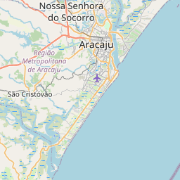
Aracaju - Santa Maria International Airport, AJU About 66 km from Lagarto
Paulo Afonso Airport, PAV About 180 km from Lagarto
Salvador – Deputado Luís Eduardo Magalhães International Airport, SSA About 233 km from Lagarto
Zumbi dos Palmares Airport, MCZ About 258 km from Lagarto
Senador Nilo Coelho Airport, PNZ About 361 km from Lagarto
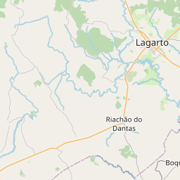
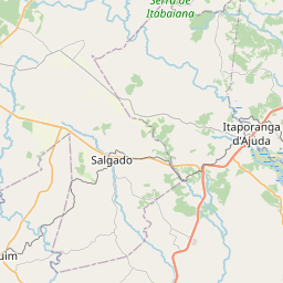
See on the Map


Major cities in the vicinity of Lagarto, Brazil
Aracaju ... (65 Km)
Feira de Santana ... (205 Km)
Salvador ... (246 Km)
Maceió ... (253 Km)
Jequié ... (419 Km)
Recife ... (441 Km)
Ilhéus ... (456 Km)
Itabuna ... (465 Km)
João Pessoa ... (522 Km)
Vitória da Conquista ... (558 Km)
Natal ... (632 Km)
Porto Seguro ... (633 Km)
Teixeira de Freitas ... (770 Km)
Fortaleza ... (804 Km)
Note: The distance between two locations is provided as an aerial distance for informational purposes only. While approximate, this calculation is based on reliable data and may vary slightly from the actual distance as reported in official forecasts and advisories.


