Current Local Time in Morro do Chapéu, Bahia, Brazil
04:49:52
Saturday, 26 July 2025
| Country: | Brazil |
| State: | Bahia (BA) |
| Languages: | Portuguese |
| Currency: | Real (BRL) |
| Lat/Long: | 11.5493°S / 41.1573°W |
| Elevation: | 1012 m |
| Country Code: | +55 |
Weather
°C
Change Units for Weather
Now

Light rain shower
16 °C
Sun, 27

Patchy rain nearby
25 / 15 °C
Mon, 28

Sunny
26 / 15 °C
Tue, 29

Partly Cloudy
28 / 15 °C
Time Zone


No DST
No Daylight Saving Time in 2025
Sun & Moon

Sunrise
06:04

Sunset
17:38

Day length
11 hours, 33 minutes +24s longer

Moon 2%
Rise - 07:30 Set - 19:28
Time Zone ConverterCompare the local time of two time zones, countries or cities of the world |  |
Morro do Chapéu
Time Difference to major World Cities
Upcoming Holidays
Sunday, September 7, 2025 Independence Day
Sunday, October 12, 2025 Our Lady of Aparecida / Children's Day
Tuesday, October 28, 2025 Public Service Holiday
Sunday, November 2, 2025 All Souls' Day
Saturday, November 15, 2025 Republic Proclamation Day
Airports
Senador Nilo Coelho Airport, PNZ About 252 km from Morro do Chapéu
Bom Jesus da Lapa Airport, LAZ About 310 km from Morro do Chapéu
Salvador – Deputado Luís Eduardo Magalhães International Airport, SSA About 343 km from Morro do Chapéu
Glauber de Andrade Rocha Airport, VDC About 374 km from Morro do Chapéu
Paulo Afonso Airport, PAV About 398 km from Morro do Chapéu
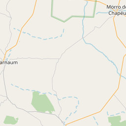
See on the Map

Major cities in the vicinity of Morro do Chapéu, Brazil
Feira de Santana ... (252 Km)
Jequié ... (282 Km)
Salvador ... (329 Km)
Vitória da Conquista ... (370 Km)
Itabuna ... (414 Km)
Barreiras ... (423 Km)
Ilhéus ... (428 Km)
Aracaju ... (451 Km)
Luís Eduardo Magalhães ... (506 Km)
Januária ... (558 Km)
Porto Seguro ... (589 Km)
Maceió ... (628 Km)
Montes Claros ... (646 Km)
Teixeira de Freitas ... (683 Km)
Teófilo Otoni ... (703 Km)
Teresina ... (740 Km)
Recife ... (789 Km)
Palmas ... (796 Km)
Formosa ... (802 Km)
Note: The distance between two locations is provided as an aerial distance for informational purposes only. While approximate, this calculation is based on reliable data and may vary slightly from the actual distance as reported in official forecasts and advisories.


