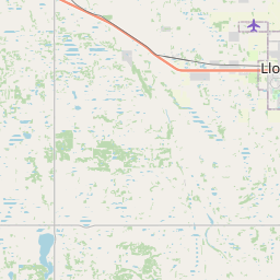
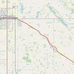
Current Local Time in Lloydminster, Alberta, Canada
01:25:06
Tuesday, 22 July 2025
| Country: | Canada |
| Province: | Alberta (AB) |
| Languages: | English, French |
| Currency: | Canadian Dollar (CAD) |
| Lat/Long: | 53.2780°N / 110.0061°W |
| Elevation: | 645 m |
| Country Code: | +1 |
Weather
°C
Change Units for Weather
Now

Overcast
11 °C
Wed, 23

Sunny
24 / 6 °C
Thu, 24
Sunny
29 / 11 °C
Fri, 25

Partly Cloudy
26 / 13 °C
Time Zone


DST started
9 Mar 2025 Forward 1 hour From 2:00 AM to 3:00 AM

DST ends
2 Nov 2025 Back 1 hour From 2:00 AM to 1:00 AM
Sun & Moon

Sunrise
05:22

Sunset
21:30

Day length
16 hours, 07 minutes -2m 53s shorter

Moon 10%
Rise - 02:01 Set - 20:55
Time Zone ConverterCompare the local time of two time zones, countries or cities of the world |  |
Lloydminster
Time Difference to major World Cities
Upcoming Holidays
Monday, August 4, 2025 Heritage Day
Monday, September 1, 2025 Labour Day
Tuesday, September 30, 2025 National Day for Truth and Reconciliation
Monday, October 13, 2025 Thanksgiving Day
Tuesday, November 11, 2025 Remembrance Day
Airports
Lloydminster Airport, YLL About 6 km from Lloydminster
Bonnyville Airport, YBY About 124 km from Lloydminster
CFB Cold Lake, YOD About 127 km from Lloydminster
North Battleford Airport, YQW About 131 km from Lloydminster
Meadow Lake Airport, YLJ About 136 km from Lloydminster
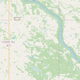
See on the Map

Major cities in the vicinity of Lloydminster, Canada
Edmonton ... (233 Km)
Saskatoon ... (257 Km)
Red Deer ... (279 Km)
Swift Current ... (366 Km)
Calgary ... (372 Km)
Regina ... (486 Km)
Kalispell ... (641 Km)
Great Falls ... (648 Km)
Lewistown ... (692 Km)
Dawson Creek ... (715 Km)
Williston ... (726 Km)
Kelowna ... (755 Km)
Kamloops ... (763 Km)
Missoula ... (767 Km)
Fort St. John ... (769 Km)
Glendive ... (782 Km)
Spokane ... (815 Km)
Note: The distance between two locations is provided as an aerial distance for informational purposes only. While approximate, this calculation is based on reliable data and may vary slightly from the actual distance as reported in official forecasts and advisories.


