Current Local Time in Ruhpolding, Bavaria, Germany
1
2
3
4
5
6
7
8
9
10
11
12
04:05:24
Saturday, 28 June 2025
| Country: | Germany |
| State: | Bavaria (BY) |
| Languages: | German |
| Currency: | Euro (EUR) |
| Lat/Long: | 47.7608°N / 12.6497°E |
| Elevation: | 656 m |
| Country Code: | +49 |
Weather
°C
Change Units for Weather
Now

Mist
15 °C
Sun, 29

Sunny
29 / 16 °C
Mon, 30

Patchy rain nearby
29 / 17 °C
Tue, 1
Patchy rain nearby
29 / 16 °C
Time Zone


DST started
30 Mar 2025 Forward 1 hour From 2:00 AM to 3:00 AM

DST ends
26 Oct 2025 Back 1 hour From 3:00 AM to 2:00 AM
Sun & Moon

Sunrise
05:14

Sunset
21:11

Day length
15 hours, 57 minutes -34s shorter

Moon 8%
Rise - 08:19
Set - 23:38
Time Zone ConverterCompare the local time of two time zones, countries or cities of the world |  |
Ruhpolding
Time Difference to major World Cities
Upcoming Holidays
Friday, August 15, 2025 Assumption Day
Friday, October 3, 2025 Day of German Unity
Saturday, November 1, 2025 All Saints' Day
Sunday, November 16, 2025 National Day of Mourning
Wednesday, November 19, 2025 Repentance Day
Airports
Salzburg Airport, SZG About 27 km from Ruhpolding
Munich Airport, MUC About 92 km from Ruhpolding
Oberpfaffenhofen Airport, OBF About 108 km from Ruhpolding
Innsbruck Airport, INN About 113 km from Ruhpolding
Linz Airport, LNZ About 126 km from Ruhpolding
See on the Map

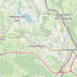
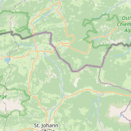
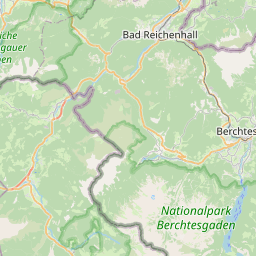
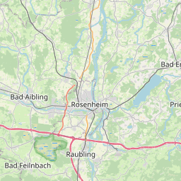

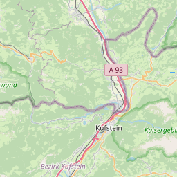

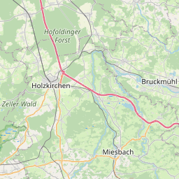
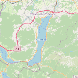
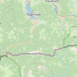


Major cities in the vicinity of Ruhpolding, Germany
Salzburg ... (31 Km)
Munich ... (90 Km)
Innsbruck ... (108 Km)
Wels ... (113 Km)
Steyr ... (135 Km)
Linz ... (136 Km)
Ingolstadt ... (144 Km)
Regensburg ... (145 Km)
Augsburg ... (147 Km)
Villach ... (157 Km)
Bolzano ... (171 Km)
Klagenfurt ... (177 Km)
České Budějovice ... (191 Km)
Udine ... (193 Km)
Ulm ... (210 Km)
Trento ... (220 Km)
Nuremberg ... (221 Km)
Graz ... (223 Km)
Plzeň ... (226 Km)
Sankt Pölten ... (228 Km)
Slovenj Gradec ... (230 Km)
Erlangen ... (236 Km)
Ljubljana ... (236 Km)
Velenje ... (243 Km)
Vaduz ... (245 Km)
St. Gallen ... (248 Km)
Trieste ... (250 Km)
Koper ... (259 Km)
Venice ... (259 Km)
Konstanz ... (260 Km)
Note: The distance between two locations is provided as an aerial distance for informational purposes only. While approximate, this calculation is based on reliable data and may vary slightly from the actual distance as reported in official forecasts and advisories.