Current Local Time in Chimaltenango, Guatemala
16:50:58
Saturday, 19 July 2025
| Country: | Guatemala |
| Department: | Chimaltenango |
| Languages: | Spanish |
| Currency: | Quetzal (GTQ) |
| Lat/Long: | 14.6590°N / 90.8245°W |
| Elevation: | 1815 m |
| Country Code: | +502 |
Weather
°C
Change Units for Weather
Now

Patchy rain nearby
25 °C
Sun, 20
Patchy rain nearby
21 / 11 °C
Mon, 21
Patchy rain nearby
21 / 12 °C
Tue, 22
Patchy rain nearby
21 / 12 °C
Time Zone


No DST
No Daylight Saving Time in 2025
Sun & Moon

Sunrise
05:43

Sunset
18:35

Day length
12 hours, 52 minutes -26s shorter

Moon 39%
Rise - 00:32 Set - 13:47
Time Zone ConverterCompare the local time of two time zones, countries or cities of the world |  |
Chimaltenango
Time Difference to major World Cities
Upcoming Holidays
Monday, September 15, 2025 Independence Day
Monday, October 20, 2025 Revolution of 1944
Saturday, November 1, 2025 All Saints' Day
Thursday, December 25, 2025 Christmas Day
Thursday, January 1, 2026 New Year's Day
Airports
La Aurora Airport, GUA About 33 km from Chimaltenango
San José Airport, GSJ About 80 km from Chimaltenango
Retalhuleu Airport, RER About 95 km from Chimaltenango
Coban Airport, CBV About 101 km from Chimaltenango
Rubelsanto Airport, RUV About 154 km from Chimaltenango
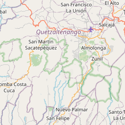
See on the Map
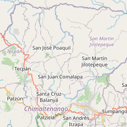
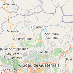

Major cities in the vicinity of Chimaltenango, Guatemala
Antigua Guatemala ... (15 Km)
Guatemala City ... (32 Km)
Mazatenango ... (75 Km)
Quetzaltenango ... (78 Km)
Cobán ... (101 Km)
Huehuetenango ... (101 Km)
Ahuachapán ... (134 Km)
Chiquimula ... (138 Km)
Zacapa ... (143 Km)
Santa Ana ... (155 Km)
Sonsonate ... (158 Km)
Acajutla ... (160 Km)
San Salvador ... (206 Km)
La Libertad ... (208 Km)
Puerto Barrios ... (267 Km)
Flores ... (270 Km)
Usulután ... (296 Km)
San Cristóbal de las Casas ... (302 Km)
San Miguel ... (314 Km)
San Pedro Sula ... (316 Km)
El Progreso ... (334 Km)
Santa Rosa de Lima ... (336 Km)
Tuxtla Gutiérrez ... (337 Km)
Comayagua ... (343 Km)
La Unión ... (353 Km)
Belmopan ... (363 Km)
Tegucigalpa ... (394 Km)
Belize City ... (423 Km)
Villahermosa ... (434 Km)
La Ceiba ... (450 Km)
Note: The distance between two locations is provided as an aerial distance for informational purposes only. While approximate, this calculation is based on reliable data and may vary slightly from the actual distance as reported in official forecasts and advisories.


