Current Local Time in Yoro, Honduras
00:53:28
Friday, 25 July 2025
| Country: | Honduras |
| Department: | Yoro |
| Languages: | Spanish |
| Currency: | Lempira (HNL) |
| Lat/Long: | 15.1370°N / 87.1273°W |
| Elevation: | 625 m |
| Country Code: | +504 |
Weather
°C
Change Units for Weather
Now

Mist
18 °C
Sat, 26

Moderate rain
27 / 17 °C
Sun, 27

Patchy rain nearby
29 / 15 °C
Mon, 28
Moderate rain
27 / 16 °C
Time Zone


No DST
No Daylight Saving Time in 2025
Sun & Moon

Sunrise
05:29

Sunset
18:20

Day length
12 hours, 50 minutes -33s shorter

Moon 0%
Rise - 06:13 Set - 19:22
Time Zone ConverterCompare the local time of two time zones, countries or cities of the world |  |
Yoro
Time Difference to major World Cities
Upcoming Holidays
Monday, September 15, 2025 Independence Day
Friday, October 3, 2025 Morazan's Day
Sunday, October 12, 2025 Columbus Day
Tuesday, October 21, 2025 Army Day
Thursday, December 25, 2025 Christmas Day
Airports
Goloson International Airport, LCE About 73 km from Yoro
Tela Airport, TEA About 80 km from Yoro
Ramón Villeda Morales International Airport, SAP About 92 km from Yoro
Palmerola International Airport, XPL About 99 km from Yoro
Toncontín International Airport, TGU About 120 km from Yoro
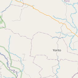
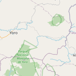
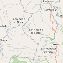
See on the Map

Major cities in the vicinity of Yoro, Honduras
El Progreso ... (79 Km)
La Ceiba ... (79 Km)
Comayagua ... (95 Km)
San Pedro Sula ... (103 Km)
Juticalpa ... (111 Km)
Tegucigalpa ... (116 Km)
Tocoa ... (134 Km)
Danlí ... (136 Km)
Puerto Barrios ... (170 Km)
Santa Rosa de Lima ... (188 Km)
La Unión ... (215 Km)
San Miguel ... (216 Km)
Estelí ... (243 Km)
Usulután ... (245 Km)
Zacapa ... (259 Km)
Chiquimula ... (262 Km)
San Salvador ... (274 Km)
Matagalpa ... (278 Km)
Chinandega ... (279 Km)
Belize City ... (287 Km)
Santa Ana ... (291 Km)
Belmopan ... (293 Km)
La Libertad ... (299 Km)
León ... (302 Km)
Ahuachapán ... (322 Km)
Sonsonate ... (322 Km)
Acajutla ... (338 Km)
Waspán ... (342 Km)
Managua ... (347 Km)
Cobán ... (351 Km)
Note: The distance between two locations is provided as an aerial distance for informational purposes only. While approximate, this calculation is based on reliable data and may vary slightly from the actual distance as reported in official forecasts and advisories.


