Current Local Time in Belsand, Bihar, India
1
2
3
4
5
6
7
8
9
10
11
12
13:41:50
Friday, 27 June 2025
| Country: | India |
| State: | Bihar (BR) |
| Languages: | Hindi, Urdu, Maithili, Magahi, Bhojpuri |
| Currency: | Indian Rupee (INR) |
| Lat/Long: | 26.4504°N / 85.4027°E |
| Elevation: | 66 m |
| Country Code: | +91 |
| Holiday Note: Jun 27 - Rath Yatra. The Businesses may be closed. Learn More |
Weather
°C
Change Units for Weather
Now

Sunny
39 °C
Sat, 28

Patchy rain nearby
37 / 30 °C
Sun, 29

Moderate rain
30 / 27 °C
Mon, 30
Moderate rain
34 / 28 °C
Time Zone


No DST
No Daylight Saving Time in 2025
Sun & Moon

Sunrise
04:58

Sunset
18:44

Day length
13 hours, 46 minutes -11s shorter

Moon 3%
Rise - 06:33
Set - 20:45
Time Zone ConverterCompare the local time of two time zones, countries or cities of the world |  |
Belsand
Time Difference to major World Cities
Upcoming Holidays
Friday, June 27, 2025 Rath Yatra
Sunday, July 6, 2025 Muharram (Ashura)
Saturday, August 9, 2025 Raksha Bandhan (Rakhi)
Friday, August 15, 2025 Independence Day
Friday, August 15, 2025 Janmashtami (Smarta)
Airports
Janakpur Airport, JKR About 59 km from Belsand
Darbhanga Airport, DBR About 59 km from Belsand
Jay Prakash Narayan Airport, PAT About 101 km from Belsand
Tribhuvan International Airport, KTM About 139 km from Belsand
Kushinagar International Airport, KBK About 155 km from Belsand
See on the Map
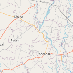
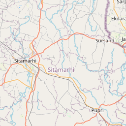
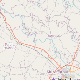

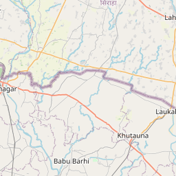

Major cities in the vicinity of Belsand, India
Muzaffarpur ... (37 Km)
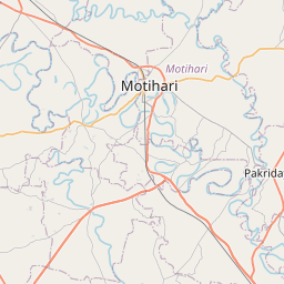
Motihari ... (54 Km)
Darbhanga ... (59 Km)
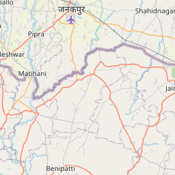
Janakpur ... (62 Km)
Chapra ... (99 Km)
Patna ... (99 Km)
Lahan ... (112 Km)
Kathmandu ... (141 Km)
Bharatpur ... (166 Km)
Biratnagar ... (186 Km)
Gaya ... (189 Km)
Gorakhpur ... (205 Km)
Bhagalpur ... (208 Km)
Purnia ... (220 Km)
Azamgarh ... (225 Km)
Butwal ... (237 Km)
Katihar ... (237 Km)
Deoghar ... (254 Km)
Kishanganj ... (256 Km)
Basti ... (268 Km)
Hazaribagh ... (273 Km)
Varanasi ... (274 Km)
Jaunpur ... (283 Km)
Darjeeling ... (292 Km)
Siliguri ... (302 Km)
Dhanbad ... (313 Km)
Malda ... (318 Km)
Bokaro ... (319 Km)
Mirzapur ... (319 Km)
Ayodhya ... (321 Km)
Note: The distance between two locations is provided as an aerial distance for informational purposes only. While approximate, this calculation is based on reliable data and may vary slightly from the actual distance as reported in official forecasts and advisories.