Current Local Time in Bhilai, Chhattisgarh, India
12:14:31
Friday, 25 July 2025
| Country: | India |
| State: | Chhattisgarh (CG) |
| Languages: | Hindi, Chhattisgarhi |
| Currency: | Indian Rupee (INR) |
| Lat/Long: | 21.2100°N / 81.3800°E |
| Elevation: | 297 m |
| Country Code: | +91 |
Weather
°C
Change Units for Weather
Now

Patchy rain nearby
26 °C
Sat, 26

Heavy rain
25 / 24 °C
Sun, 27

Moderate rain
25 / 24 °C
Mon, 28
Patchy rain nearby
28 / 24 °C
Time Zone


No DST
No Daylight Saving Time in 2025
Sun & Moon

Sunrise
05:35

Sunset
18:46

Day length
13 hours, 10 minutes -47s shorter

Moon 0%
Rise - 05:50 Set - 19:27
Time Zone ConverterCompare the local time of two time zones, countries or cities of the world |  |
Bhilai
Time Difference to major World Cities
Upcoming Holidays
Saturday, August 9, 2025 Raksha Bandhan (Rakhi)
Friday, August 15, 2025 Independence Day
Friday, August 15, 2025 Janmashtami (Smarta)
Friday, August 15, 2025 Parsi New Year
Saturday, August 16, 2025 Janmashtami
Airports
Bilaspur Airport, PAB About 115 km from Bhilai
Gondia Airport, GDB About 118 km from Bhilai
Dr. Babasaheb Ambedkar International Airport, NAG About 242 km from Bhilai
Jabalpur Airport, JLR About 258 km from Bhilai
Rourkela Airport, RRK About 373 km from Bhilai
See on the Map
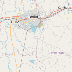
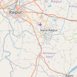


Major cities in the vicinity of Bhilai, India
Raipur ... (26 Km)
Naya Raipur ... (42 Km)
Bilaspur ... (125 Km)
Gondia ... (126 Km)
Bhandara ... (179 Km)
Korba ... (188 Km)
Raigarh ... (222 Km)
Shahdol ... (232 Km)
Bhawanipatna ... (236 Km)
Nagpur ... (238 Km)
Jagdalpur ... (245 Km)
Chandrapur ... (258 Km)
Jabalpur ... (264 Km)
Chhindwara ... (269 Km)
Sambalpur ... (271 Km)
Jharsuguda ... (282 Km)
Ambikapur ... (283 Km)
Jeypore ... (288 Km)
Sundargarh ... (293 Km)
Wardha ... (293 Km)
Katni ... (309 Km)
Rayagada ... (310 Km)
Adilabad ... (343 Km)
Maihar ... (346 Km)
Yavatmal ... (350 Km)
Damoh ... (353 Km)
Araku Valley ... (357 Km)
Betul ... (368 Km)
Rewa ... (370 Km)
Rourkela ... (377 Km)
Note: The distance between two locations is provided as an aerial distance for informational purposes only. While approximate, this calculation is based on reliable data and may vary slightly from the actual distance as reported in official forecasts and advisories.


