Current Local Time in Kalpi, Uttar Pradesh, India
12:24:26
Tuesday, 22 July 2025
| Country: | India |
| State: | Uttar Pradesh (UP) |
| Languages: | Hindi, Urdu |
| Currency: | Indian Rupee (INR) |
| Lat/Long: | 26.1210°N / 79.7484°E |
| Elevation: | 112 m |
| Country Code: | +91 |
Weather
°C
Change Units for Weather
Now

Partly Cloudy
37 °C
Wed, 23

Patchy rain nearby
38 / 31 °C
Thu, 24
Patchy rain nearby
38 / 29 °C
Fri, 25

Moderate rain
33 / 30 °C
Time Zone


No DST
No Daylight Saving Time in 2025
Sun & Moon

Sunrise
05:32

Sunset
19:02

Day length
13 hours, 30 minutes -55s shorter

Moon 10%
Rise - 02:29 Set - 17:08
Time Zone ConverterCompare the local time of two time zones, countries or cities of the world |  |
Kalpi
Time Difference to major World Cities
Upcoming Holidays
Saturday, August 9, 2025 Raksha Bandhan (Rakhi)
Friday, August 15, 2025 Independence Day
Friday, August 15, 2025 Janmashtami (Smarta)
Friday, August 15, 2025 Parsi New Year
Saturday, August 16, 2025 Janmashtami
Airports
Kanpur Airport, KNU About 73 km from Kalpi
Chaudhary Charan Singh International Airport, LKO About 134 km from Kalpi
Khajuraho Airport, HJR About 146 km from Kalpi
Gwalior Airport, GWL About 153 km from Kalpi
Agra Airport, AGR About 212 km from Kalpi
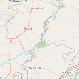
See on the Map

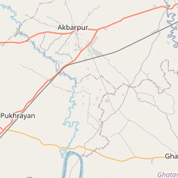
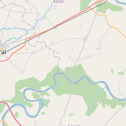


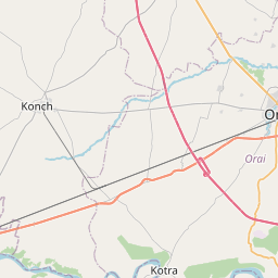

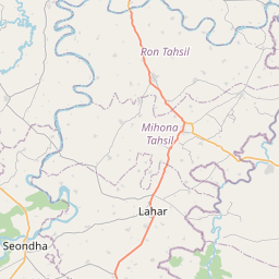


Major cities in the vicinity of Kalpi, India
Kanpur ... (69 Km)
Banda ... (93 Km)
Etawah ... (103 Km)
Chhatarpur ... (135 Km)
Jhansi ... (140 Km)
Lucknow ... (144 Km)
Raebareli ... (149 Km)
Gwalior ... (157 Km)
Sitapur ... (186 Km)
Satna ... (203 Km)
Lalitpur ... (208 Km)
Agra ... (209 Km)
Allahabad ... (223 Km)
Shivpuri ... (224 Km)
Maihar ... (230 Km)
Rewa ... (236 Km)
Bahraich ... (244 Km)
Gonda ... (247 Km)
Bareilly ... (252 Km)
Ayodhya ... (255 Km)
Damoh ... (256 Km)
Mathura ... (256 Km)
Aligarh ... (257 Km)
Katni ... (262 Km)
Sagar ... (273 Km)
Guna ... (294 Km)
Jaunpur ... (296 Km)
Mirzapur ... (303 Km)
Basti ... (306 Km)
Moradabad ... (317 Km)
Note: The distance between two locations is provided as an aerial distance for informational purposes only. While approximate, this calculation is based on reliable data and may vary slightly from the actual distance as reported in official forecasts and advisories.


