Current Local Time in Kamarhati, West Bengal, India
19:27:08
Wednesday, 23 July 2025
| Country: | India |
| State: | West Bengal (WB) |
| Languages: | Bengali, English, Hindi |
| Currency: | Indian Rupee (INR) |
| Lat/Long: | 22.6847°N / 88.3706°E |
| Elevation: | 15 m |
| Country Code: | +91 |
Weather
°C
Change Units for Weather
Now

Mist
33 °C
Thu, 24

Moderate rain
33 / 29 °C
Fri, 25
Moderate rain
32 / 28 °C
Sat, 26

Patchy rain nearby
31 / 27 °C
Time Zone


No DST
No Daylight Saving Time in 2025
Sun & Moon

Sunrise
05:04

Sunset
18:21

Day length
13 hours, 17 minutes -47s shorter

Moon 4%
Rise - 03:06 Set - 17:23
Time Zone ConverterCompare the local time of two time zones, countries or cities of the world |  |
Kamarhati
Time Difference to major World Cities
Upcoming Holidays
Saturday, August 9, 2025 Raksha Bandhan (Rakhi)
Friday, August 15, 2025 Independence Day
Friday, August 15, 2025 Janmashtami (Smarta)
Friday, August 15, 2025 Parsi New Year
Saturday, August 16, 2025 Janmashtami
Airports
Netaji Subhash Chandra Bose International Airport, CCU About 8 km from Kamarhati
Jessore Airport, JSR About 98 km from Kamarhati
Kazi Nazrul Islam Airport, RDP About 155 km from Kamarhati
Ishurdi Airport, IRD About 177 km from Kamarhati
Shah Mokhdum Airport, RJH About 196 km from Kamarhati
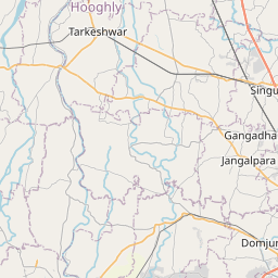
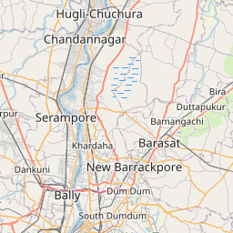
See on the Map

Major cities in the vicinity of Kamarhati, India
Kolkata ... (12 Km)
Bardhaman ... (80 Km)
Khulna ... (122 Km)
Durgapur ... (143 Km)
Digha ... (148 Km)
Berhampore ... (158 Km)
Baripada ... (187 Km)
Rajshahi ... (188 Km)
Balasore ... (200 Km)
Barisal ... (204 Km)
Dhanbad ... (234 Km)
Dhaka ... (239 Km)
Narayanganj ... (241 Km)
Bokaro ... (251 Km)
Malda ... (260 Km)
Bogra ... (261 Km)
Deoghar ... (263 Km)
Jamalpur ... (296 Km)
Comilla ... (300 Km)
Mymensingh ... (310 Km)
Keonjhar ... (310 Km)
Bhagalpur ... (317 Km)
Ranchi ... (320 Km)
Agartala ... (324 Km)
Dinajpur ... (328 Km)
Katihar ... (330 Km)
Hazaribagh ... (340 Km)
Rangpur ... (352 Km)
Purnia ... (356 Km)
Cuttack ... (357 Km)
Note: The distance between two locations is provided as an aerial distance for informational purposes only. While approximate, this calculation is based on reliable data and may vary slightly from the actual distance as reported in official forecasts and advisories.


