Current Local Time in Kishanpur, Uttar Pradesh, India
13:08:54
Thursday, 24 July 2025
| Country: | India |
| State: | Uttar Pradesh (UP) |
| Languages: | Hindi, Urdu |
| Currency: | Indian Rupee (INR) |
| Lat/Long: | 25.6422°N / 81.0244°E |
| Elevation: | 105 m |
| Country Code: | +91 |
Weather
°C
Change Units for Weather
Now

Partly Cloudy
37 °C
Fri, 25

Heavy rain
35 / 27 °C
Sat, 26

Patchy rain nearby
36 / 27 °C
Sun, 27
Patchy rain nearby
34 / 30 °C
Time Zone


No DST
No Daylight Saving Time in 2025
Sun & Moon

Sunrise
05:28

Sunset
18:55

Day length
13 hours, 26 minutes -56s shorter

Moon 1%
Rise - 04:36 Set - 18:54
Time Zone ConverterCompare the local time of two time zones, countries or cities of the world |  |
Kishanpur
Time Difference to major World Cities
Upcoming Holidays
Saturday, August 9, 2025 Raksha Bandhan (Rakhi)
Friday, August 15, 2025 Independence Day
Friday, August 15, 2025 Janmashtami (Smarta)
Friday, August 15, 2025 Parsi New Year
Saturday, August 16, 2025 Janmashtami
Airports
Allahabad Airport, IXD About 75 km from Kishanpur
Kanpur Airport, KNU About 105 km from Kishanpur
Chaudhary Charan Singh International Airport, LKO About 125 km from Kishanpur
Khajuraho Airport, HJR About 144 km from Kishanpur
Lal Bahadur Shastri Airport, VNS About 186 km from Kishanpur
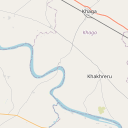
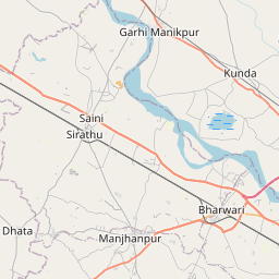
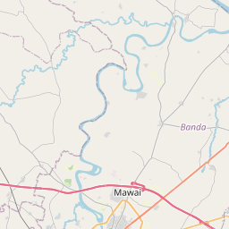
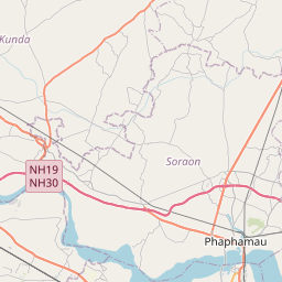
See on the Map


Major cities in the vicinity of Kishanpur, India
Raebareli ... (68 Km)
Banda ... (71 Km)
Allahabad ... (86 Km)
Kanpur ... (113 Km)
Satna ... (120 Km)
Rewa ... (126 Km)
Lucknow ... (134 Km)
Maihar ... (155 Km)
Mirzapur ... (164 Km)
Chhatarpur ... (165 Km)
Jaunpur ... (167 Km)
Ayodhya ... (173 Km)
Gonda ... (190 Km)
Varanasi ... (199 Km)
Katni ... (211 Km)
Basti ... (213 Km)
Sitapur ... (217 Km)
Azamgarh ... (221 Km)
Bahraich ... (222 Km)
Etawah ... (236 Km)
Jhansi ... (247 Km)
Damoh ... (257 Km)
Shahdol ... (263 Km)
Gorakhpur ... (265 Km)
Lalitpur ... (283 Km)
Gwalior ... (292 Km)
Jabalpur ... (297 Km)
Sagar ... (306 Km)
Butwal ... (333 Km)
Shivpuri ... (339 Km)
Note: The distance between two locations is provided as an aerial distance for informational purposes only. While approximate, this calculation is based on reliable data and may vary slightly from the actual distance as reported in official forecasts and advisories.


