Current Local Time in Nahan, Himachal Pradesh, India
1
2
3
4
5
6
7
8
9
10
11
12
22:27:33
Saturday, 28 June 2025
| Country: | India |
| State: | Himachal Pradesh (HP) |
| Languages: | Hindi, Sanskrit |
| Currency: | Indian Rupee (INR) |
| Lat/Long: | 30.5599°N / 77.2955°E |
| Elevation: | 932 m |
| Country Code: | +91 |
Weather
°C
Change Units for Weather
Now

Patchy rain nearby
26 °C
Sun, 29

Heavy rain
29 / 23 °C
Mon, 30
Heavy rain
30 / 23 °C
Tue, 1

Moderate rain
29 / 23 °C
Time Zone


No DST
No Daylight Saving Time in 2025
Sun & Moon

Sunrise
05:21

Sunset
19:26

Day length
14 hours, 05 minutes -17s shorter

Moon 8%
Rise - 08:05
Set - 22:06
Time Zone ConverterCompare the local time of two time zones, countries or cities of the world |  |
Nahan
Time Difference to major World Cities
Upcoming Holidays
Sunday, July 6, 2025 Muharram (Ashura)
Saturday, August 9, 2025 Raksha Bandhan (Rakhi)
Friday, August 15, 2025 Independence Day
Friday, August 15, 2025 Janmashtami (Smarta)
Friday, August 15, 2025 Parsi New Year
Airports
Chandigarh International Airport, IXC About 50 km from Nahan
Dehradun Jolly Grant Airport, DED About 94 km from Nahan
Ludhiana Airport, LUH About 133 km from Nahan
Kullu Manali Airport, KUU About 147 km from Nahan
Kangra Airport, DHM About 204 km from Nahan
See on the Map
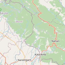
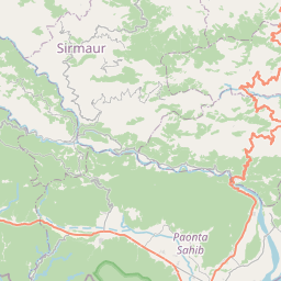
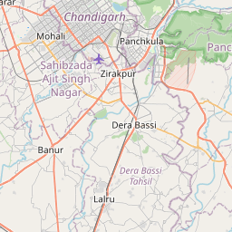
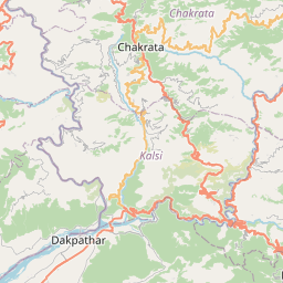

Major cities in the vicinity of Nahan, India
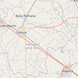
Shimla ... (62 Km)
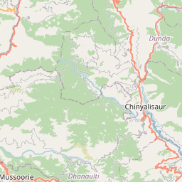
Dehradun ... (76 Km)
Patiala ... (90 Km)
Rishikesh ... (107 Km)
Haridwar ... (108 Km)
Ludhiana ... (143 Km)
Meerut ... (180 Km)
Jalandhar ... (185 Km)
Manali ... (187 Km)
Ghaziabad ... (210 Km)
Delhi ... (216 Km)
New Delhi ... (217 Km)
Hisar ... (218 Km)
Bathinda ... (229 Km)
Moradabad ... (239 Km)
Pathankot ... (246 Km)
Amritsar ... (260 Km)
Haldwani ... (261 Km)
Lahore ... (299 Km)
Abohar ... (300 Km)
Pithoragarh ... (301 Km)
Hanumangarh ... (305 Km)
Aligarh ... (307 Km)
Bareilly ... (319 Km)
Jammu ... (334 Km)
Sri Ganganagar ... (336 Km)
Alwar ... (340 Km)
Mathura ... (343 Km)
Gujranwala ... (344 Km)
Katra ... (351 Km)
Note: The distance between two locations is provided as an aerial distance for informational purposes only. While approximate, this calculation is based on reliable data and may vary slightly from the actual distance as reported in official forecasts and advisories.