Current Local Time in Baturaja, South Sumatra, Indonesia
12:23:08
Wednesday, 30 July 2025
| Country: | Indonesia |
| Province: | South Sumatra |
| Languages: | Indonesian |
| Currency: | Indonesian Rupiah (IDR) |
| Lat/Long: | 4.1228°S / 104.1680°E |
| Elevation: | 111 m |
| Country Code: | +62 |
Weather
°C
Change Units for Weather
Now

Patchy rain nearby
32 °C
Thu, 31

Moderate rain
31 / 22 °C
Fri, 1

Cloudy
32 / 21 °C
Sat, 2
Patchy rain nearby
34 / 22 °C
Time Zone


No DST
No Daylight Saving Time in 2025
Sun & Moon

Sunrise
06:12

Sunset
18:07

Day length
11 hours, 55 minutes +9s longer

Moon 27%
Rise - 10:07 Set - 22:30
Time Zone ConverterCompare the local time of two time zones, countries or cities of the world |  |
Baturaja
Time Difference to major World Cities
Upcoming Holidays
Sunday, August 17, 2025 Independence Day
Friday, September 5, 2025 Maulid Nabi Muhammad
Thursday, December 25, 2025 Christmas Day
Friday, December 26, 2025 Boxing Day
Thursday, January 1, 2026 New Year's Day
Airports
Pendopo Airport, PDO About 98 km from Baturaja
Sultan Mahmud Badaruddin II Airport, PLM About 148 km from Baturaja
Radin Inten II International Airport, TKG About 167 km from Baturaja
Fatmawati Soekarno Airport, BKS About 205 km from Baturaja
Soekarno-Hatta International Airport, CGK About 354 km from Baturaja
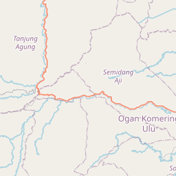
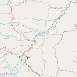
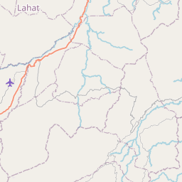
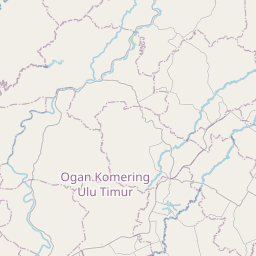
See on the Map

Major cities in the vicinity of Baturaja, Indonesia
Palembang ... (142 Km)
Lubuklinggau ... (172 Km)
Jambi ... (284 Km)
Jakarta ... (373 Km)
Bandung ... (492 Km)
Padang ... (551 Km)
Payakumbuh ... (585 Km)
Pekanbaru ... (597 Km)
Bukittinggi ... (598 Km)
Singapore ... (610 Km)
Johor Bahru ... (626 Km)
Purwokerto ... (670 Km)
Batu Pahat ... (678 Km)
Kluang ... (691 Km)
Muar ... (708 Km)
Flying Fish Cove ... (720 Km)
Mersing ... (730 Km)
Pontianak ... (733 Km)
Malacca ... (735 Km)
Semarang ... (761 Km)
Singkawang ... (774 Km)
Seremban ... (801 Km)
Note: The distance between two locations is provided as an aerial distance for informational purposes only. While approximate, this calculation is based on reliable data and may vary slightly from the actual distance as reported in official forecasts and advisories.


