Current Local Time in Cikupa, Banten, Indonesia
19:23:23
Wednesday, 23 July 2025
| Country: | Indonesia |
| Province: | Banten |
| Languages: | Indonesian |
| Currency: | Indonesian Rupiah (IDR) |
| Lat/Long: | 6.2181°S / 106.4970°E |
| Elevation: | 23 m |
| Country Code: | +62 |
Weather
°C
Change Units for Weather
Now

Clear
28 °C
Thu, 24

Sunny
32 / 23 °C
Fri, 25

Patchy rain nearby
32 / 24 °C
Sat, 26
Patchy rain nearby
32 / 25 °C
Time Zone


No DST
No Daylight Saving Time in 2025
Sun & Moon

Sunrise
06:06

Sunset
17:54

Day length
11 hours, 48 minutes +11s longer

Moon 4%
Rise - 04:29 Set - 16:31
Time Zone ConverterCompare the local time of two time zones, countries or cities of the world |  |
Cikupa
Time Difference to major World Cities
Upcoming Holidays
Sunday, August 17, 2025 Independence Day
Friday, September 5, 2025 Maulid Nabi Muhammad
Thursday, December 25, 2025 Christmas Day
Friday, December 26, 2025 Boxing Day
Thursday, January 1, 2026 New Year's Day
Airports
Soekarno-Hatta International Airport, CGK About 20 km from Cikupa
Halim Perdanakusuma International Airport, HLP About 44 km from Cikupa
Husein Sastranegara International Airport, BDO About 141 km from Cikupa
Radin Inten II International Airport, TKG About 182 km from Cikupa
Kertajati International Airport, KJT About 191 km from Cikupa
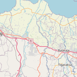
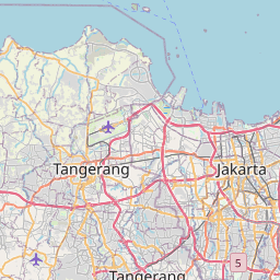
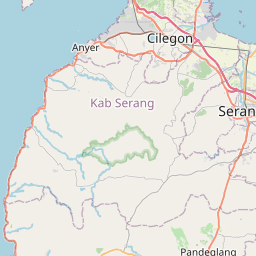
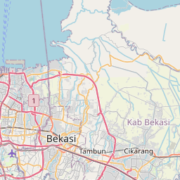
See on the Map
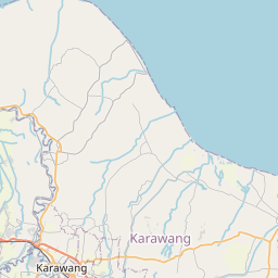

Major cities in the vicinity of Cikupa, Indonesia
Jakarta ... (37 Km)
Bandung ... (146 Km)
Purwokerto ... (331 Km)
Palembang ... (408 Km)
Semarang ... (441 Km)
Flying Fish Cove ... (477 Km)
Lubuklinggau ... (518 Km)
Jambi ... (603 Km)
Kediri ... (634 Km)
Pangkalan Bun ... (690 Km)
Surabaya ... (699 Km)
Malang ... (704 Km)
Pontianak ... (757 Km)
Sampit ... (825 Km)
Note: The distance between two locations is provided as an aerial distance for informational purposes only. While approximate, this calculation is based on reliable data and may vary slightly from the actual distance as reported in official forecasts and advisories.


