Current Local Time in Kedungwaru, East Java, Indonesia
12:24:33
Sunday, 27 July 2025
| Country: | Indonesia |
| Province: | East Java |
| Languages: | Indonesian |
| Currency: | Indonesian Rupiah (IDR) |
| Lat/Long: | 8.0511°S / 111.9086°E |
| Elevation: | 92 m |
| Country Code: | +62 |
Weather
°C
Change Units for Weather
Now

Patchy rain nearby
29 °C
Mon, 28

Moderate rain
27 / 22 °C
Tue, 29
Moderate rain
25 / 22 °C
Wed, 30
Moderate rain
25 / 22 °C
Time Zone


No DST
No Daylight Saving Time in 2025
Sun & Moon

Sunrise
05:46

Sunset
17:30

Day length
11 hours, 44 minutes +17s longer

Moon 6%
Rise - 07:39 Set - 19:47
Time Zone ConverterCompare the local time of two time zones, countries or cities of the world |  |
Kedungwaru
Time Difference to major World Cities
Upcoming Holidays
Sunday, August 17, 2025 Independence Day
Friday, September 5, 2025 Maulid Nabi Muhammad
Thursday, December 25, 2025 Christmas Day
Friday, December 26, 2025 Boxing Day
Thursday, January 1, 2026 New Year's Day
Airports
Juanda International Airport, SUB About 122 km from Kedungwaru
Adisutjipto International Airport, JOG About 165 km from Kedungwaru
Yogyakarta International Airport, YIA About 205 km from Kedungwaru
Achmad Yani Airport, SRG About 208 km from Kedungwaru
Tunggul Wulung Airport, CXP About 320 km from Kedungwaru
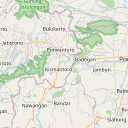
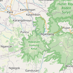
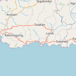
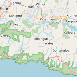
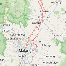
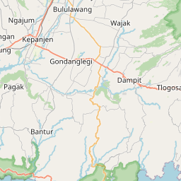
See on the Map
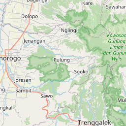
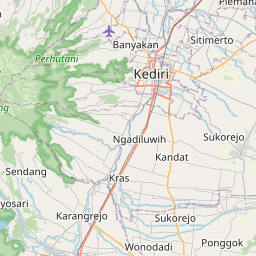


Major cities in the vicinity of Kedungwaru, Indonesia
Kediri ... (29 Km)
Malang ... (80 Km)
Surabaya ... (128 Km)
Semarang ... (203 Km)
Purwokerto ... (302 Km)
Denpasar ... (370 Km)
Bandung ... (490 Km)
Pangkalan Bun ... (597 Km)
Jakarta ... (598 Km)
Banjarmasin ... (604 Km)
Sampit ... (624 Km)
Palangka Raya ... (686 Km)
Flying Fish Cove ... (734 Km)
Makassar ... (892 Km)
Note: The distance between two locations is provided as an aerial distance for informational purposes only. While approximate, this calculation is based on reliable data and may vary slightly from the actual distance as reported in official forecasts and advisories.


