Current Local Time in Manis Mata, West Kalimantan, Indonesia
14:40:38
Wednesday, 23 July 2025
| Country: | Indonesia |
| Province: | West Kalimantan |
| Languages: | Indonesian |
| Currency: | Indonesian Rupiah (IDR) |
| Lat/Long: | 2.4567°S / 111.0333°E |
| Elevation: | 28 m |
| Country Code: | +62 |
Weather
°C
Change Units for Weather
Now

Cloudy
31 °C
Thu, 24

Patchy rain nearby
34 / 23 °C
Fri, 25
Patchy rain nearby
33 / 23 °C
Sat, 26
Patchy rain nearby
32 / 23 °C
Time Zone


No DST
No Daylight Saving Time in 2025
Sun & Moon

Sunrise
05:42

Sunset
17:42

Day length
11 hours, 59 minutes +4s longer

Moon 4%
Rise - 04:01 Set - 16:20
Time Zone ConverterCompare the local time of two time zones, countries or cities of the world |  |
Manis Mata
Time Difference to major World Cities
Upcoming Holidays
Sunday, August 17, 2025 Independence Day
Friday, September 5, 2025 Maulid Nabi Muhammad
Thursday, December 25, 2025 Christmas Day
Friday, December 26, 2025 Boxing Day
Thursday, January 1, 2026 New Year's Day
Airports
Rahadi Osman Airport, KTG About 139 km from Manis Mata
Nanga Pinoh Airport, NPO About 247 km from Manis Mata
Tebelian Airport, SQG About 284 km from Manis Mata
Supadio Airport, PNK About 314 km from Manis Mata
Pangsuma Airport, PSU About 423 km from Manis Mata
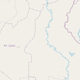
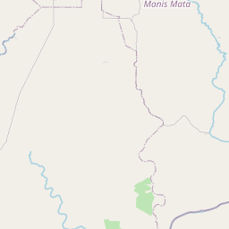
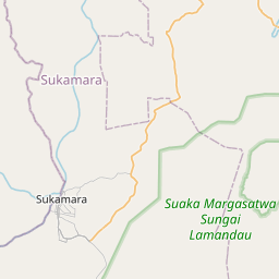
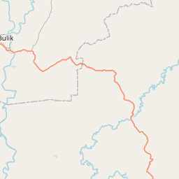
See on the Map


Major cities in the vicinity of Manis Mata, Indonesia
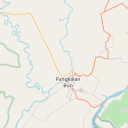
Pangkalan Bun ... (70 Km)
Sampit ... (214 Km)
Palangka Raya ... (321 Km)
Pontianak ... (329 Km)
Banjarmasin ... (407 Km)
Singkawang ... (438 Km)
Kota Samarahan ... (440 Km)
Kuching ... (452 Km)
Semarang ... (508 Km)
Sibu ... (535 Km)
Surabaya ... (565 Km)
Purwokerto ... (587 Km)
Kediri ... (606 Km)
Jakarta ... (623 Km)
Bandung ... (625 Km)
Malang ... (638 Km)
Balikpapan ... (661 Km)
Bintulu ... (664 Km)
Palembang ... (700 Km)
Samarinda ... (713 Km)
Jambi ... (830 Km)
Note: The distance between two locations is provided as an aerial distance for informational purposes only. While approximate, this calculation is based on reliable data and may vary slightly from the actual distance as reported in official forecasts and advisories.


