Current Local Time in Pemalang, Central Java, Indonesia
07:15:08
Friday, 25 July 2025
| Country: | Indonesia |
| Province: | Central Java |
| Languages: | Indonesian |
| Currency: | Indonesian Rupiah (IDR) |
| Lat/Long: | 6.8899°S / 109.3807°E |
| Elevation: | 12 m |
| Country Code: | +62 |
Weather
°C
Change Units for Weather
Now

Patchy rain nearby
24 °C
Sat, 26
Patchy rain nearby
31 / 24 °C
Sun, 27
Patchy rain nearby
31 / 24 °C
Mon, 28
Patchy rain nearby
30 / 25 °C
Time Zone


No DST
No Daylight Saving Time in 2025
Sun & Moon

Sunrise
05:55

Sunset
17:42

Day length
11 hours, 46 minutes +13s longer

Moon 0%
Rise - 06:14 Set - 18:17
Time Zone ConverterCompare the local time of two time zones, countries or cities of the world |  |
Pemalang
Time Difference to major World Cities
Upcoming Holidays
Sunday, August 17, 2025 Independence Day
Friday, September 5, 2025 Maulid Nabi Muhammad
Thursday, December 25, 2025 Christmas Day
Friday, December 26, 2025 Boxing Day
Thursday, January 1, 2026 New Year's Day
Airports
Tunggul Wulung Airport, CXP About 92 km from Pemalang
Achmad Yani Airport, SRG About 110 km from Pemalang
Yogyakarta International Airport, YIA About 135 km from Pemalang
Kertajati International Airport, KJT About 137 km from Pemalang
Adisutjipto International Airport, JOG About 153 km from Pemalang
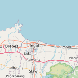
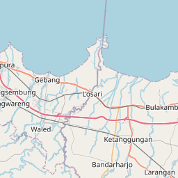
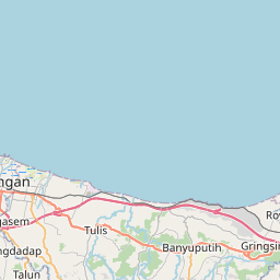
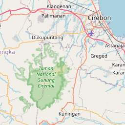
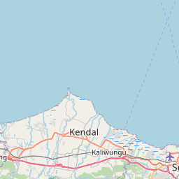
See on the Map


Major cities in the vicinity of Pemalang, Indonesia
Purwokerto ... (61 Km)
Semarang ... (115 Km)
Bandung ... (196 Km)
Jakarta ... (293 Km)
Kediri ... (308 Km)
Surabaya ... (373 Km)
Malang ... (378 Km)
Pangkalan Bun ... (529 Km)
Flying Fish Cove ... (566 Km)
Sampit ... (625 Km)
Palembang ... (671 Km)
Denpasar ... (672 Km)
Banjarmasin ... (701 Km)
Palangka Raya ... (723 Km)
Pontianak ... (763 Km)
Lubuklinggau ... (825 Km)
Note: The distance between two locations is provided as an aerial distance for informational purposes only. While approximate, this calculation is based on reliable data and may vary slightly from the actual distance as reported in official forecasts and advisories.


