Current Local Time in Jōetsu, Japan
05:07:53
Wednesday, 23 July 2025
| Country: | Japan |
| Prefecture: | Niigata |
| Languages: | Japanese |
| Currency: | Yen (JPY) |
| Lat/Long: | 37.1479°N / 138.2361°E |
| Elevation: | 12 m |
| Country Code: | +81 |
Weather
°C
Change Units for Weather
Now

Sunny
22 °C
Thu, 24

Patchy rain nearby
30 / 21 °C
Fri, 25
Patchy rain nearby
30 / 21 °C
Sat, 26
Sunny
30 / 21 °C
Time Zone


No DST
No Daylight Saving Time in 2025
Sun & Moon

Sunrise
04:45

Sunset
19:02

Day length
14 hours, 16 minutes -1m 28s shorter

Moon 4%
Rise - 02:21 Set - 18:09
Time Zone ConverterCompare the local time of two time zones, countries or cities of the world |  |
Jōetsu
Time Difference to major World Cities
Upcoming Holidays
Monday, August 11, 2025 Mountain Day
Monday, September 15, 2025 Respect for the Aged Day
Tuesday, September 23, 2025 Autumn Equinox
Monday, October 13, 2025 Sports Day
Monday, November 3, 2025 Culture Day
Airports
Sado Airport, SDS About 103 km from Jōetsu
Toyama Airport, TOY About 108 km from Jōetsu
Shinshu-Matsumoto Airport, MMJ About 113 km from Jōetsu
Noto Satoyama Airport, NTQ About 114 km from Jōetsu
Niigata Airport, KIJ About 119 km from Jōetsu
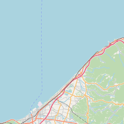
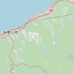
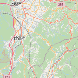
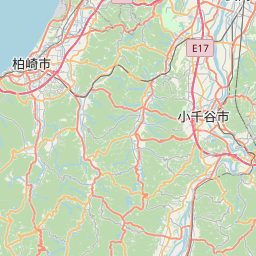
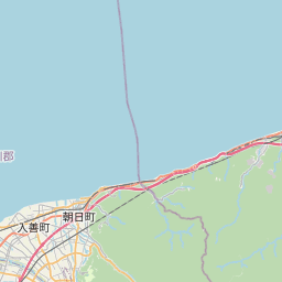
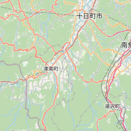
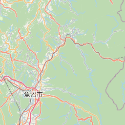
See on the Map


Major cities in the vicinity of Jōetsu, Japan
Toyama ... (104 Km)
Niigata ... (111 Km)
Kanazawa ... (155 Km)
Tokyo ... (212 Km)
Yokohama ... (227 Km)
Shizuoka ... (242 Km)
Nagoya ... (249 Km)
Sendai ... (263 Km)
Hamamatsu ... (275 Km)
Akita ... (329 Km)
Osaka ... (367 Km)
Morioka ... (381 Km)
Kobe ... (387 Km)
Himeji ... (411 Km)
Hirosaki ... (430 Km)
Aomori ... (463 Km)
Hachinohe ... (468 Km)
Okayama ... (477 Km)
Hakodate ... (557 Km)
Hiroshima ... (605 Km)
Matsuyama ... (617 Km)
Tomakomai ... (674 Km)
Sapporo ... (709 Km)
Ōita ... (743 Km)
Obihiro ... (768 Km)
Nakhodka ... (778 Km)
Pohang ... (804 Km)
Note: The distance between two locations is provided as an aerial distance for informational purposes only. While approximate, this calculation is based on reliable data and may vary slightly from the actual distance as reported in official forecasts and advisories.


