Current Local Time in Kōchi, Japan
07:56:59
Monday, 28 July 2025
| Country: | Japan |
| Prefecture: | Kōchi |
| Languages: | Japanese |
| Currency: | Yen (JPY) |
| Lat/Long: | 33.5589°N / 133.5312°E |
| Elevation: | 10 m |
| Country Code: | +81 |
Weather
°C
Change Units for Weather
Now

Sunny
26 °C
Tue, 29
Sunny
30 / 23 °C
Wed, 30
Sunny
31 / 23 °C
Thu, 31

Patchy rain nearby
31 / 23 °C
Time Zone


No DST
No Daylight Saving Time in 2025
Sun & Moon

Sunrise
05:15

Sunset
19:09

Day length
13 hours, 53 minutes -1m 24s shorter

Moon 11%
Rise - 08:28 Set - 21:15
Time Zone ConverterCompare the local time of two time zones, countries or cities of the world |  |
Kōchi
Time Difference to major World Cities
Upcoming Holidays
Monday, August 11, 2025 Mountain Day
Monday, September 15, 2025 Respect for the Aged Day
Tuesday, September 23, 2025 Autumn Equinox
Monday, October 13, 2025 Sports Day
Monday, November 3, 2025 Culture Day
Airports
Kochi Ryoma Airport, KCZ About 13 km from Kōchi
Matsuyama Airport, MYJ About 82 km from Kōchi
Takamatsu Airport, TAK About 86 km from Kōchi
Hiroshima Airport, HIJ About 113 km from Kōchi
Tokushima Awaodori Airport, TKS About 118 km from Kōchi
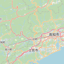
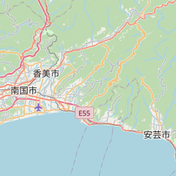
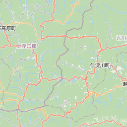
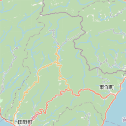
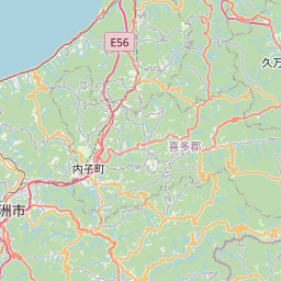
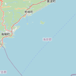
See on the Map

Major cities in the vicinity of Kōchi, Japan
Matsuyama ... (77 Km)
Okayama ... (127 Km)
Hiroshima ... (135 Km)
Himeji ... (175 Km)
Ōita ... (182 Km)
Kobe ... (198 Km)
Osaka ... (221 Km)
Fukuoka ... (290 Km)
Miyakonojō ... (309 Km)
Nagasaki ... (352 Km)
Kagoshima ... (354 Km)
Nagoya ... (358 Km)
Hamamatsu ... (407 Km)
Kanazawa ... (439 Km)
Ulsan ... (445 Km)
Busan ... (447 Km)
Gyeongju ... (469 Km)
Pohang ... (470 Km)
Shizuoka ... (473 Km)
Changwon ... (480 Km)
Toyama ... (483 Km)
Gyeongsan ... (505 Km)
Daegu ... (519 Km)
Gumi ... (552 Km)
Yeosu ... (556 Km)
Yokohama ... (597 Km)
Tokyo ... (617 Km)
Gangneung ... (628 Km)
Jeonju ... (635 Km)
Gwangju ... (638 Km)
Note: The distance between two locations is provided as an aerial distance for informational purposes only. While approximate, this calculation is based on reliable data and may vary slightly from the actual distance as reported in official forecasts and advisories.


