Current Local Time in Machida, Japan
12:17:27
Wednesday, 23 July 2025
| Country: | Japan |
| Prefecture: | Tōkyō |
| Languages: | Japanese |
| Currency: | Yen (JPY) |
| Lat/Long: | 35.5467°N / 139.4386°E |
| Elevation: | 82 m |
| Country Code: | +81 |
Weather
°C
Change Units for Weather
Now

Sunny
33 °C
Thu, 24

Patchy rain nearby
34 / 27 °C
Fri, 25
Sunny
33 / 27 °C
Sat, 26
Sunny
32 / 26 °C
Time Zone


No DST
No Daylight Saving Time in 2025
Sun & Moon

Sunrise
04:44

Sunset
18:53

Day length
14 hours, 09 minutes -1m 23s shorter

Moon 4%
Rise - 02:22 Set - 17:59
Time Zone ConverterCompare the local time of two time zones, countries or cities of the world |  |
Machida
Time Difference to major World Cities
Upcoming Holidays
Monday, August 11, 2025 Mountain Day
Monday, September 15, 2025 Respect for the Aged Day
Tuesday, September 23, 2025 Autumn Equinox
Monday, October 13, 2025 Sports Day
Monday, November 3, 2025 Culture Day
Airports
Haneda Airport, HND About 31 km from Machida
Oshima Airport, OIM About 85 km from Machida
Narita International Airport, NRT About 89 km from Machida
Ibaraki Airport, IBR About 113 km from Machida
Mount Fuji Shizuoka Airport, FSZ About 141 km from Machida
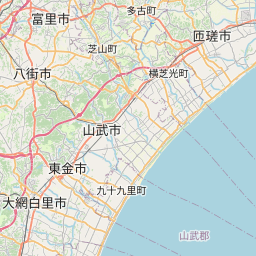
See on the Map
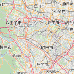
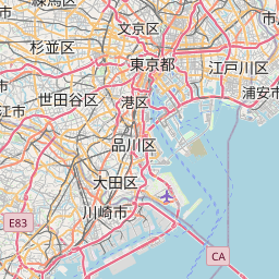


Major cities in the vicinity of Machida, Japan
Yokohama ... (21 Km)
Tokyo ... (33 Km)
Shizuoka ... (115 Km)
Hamamatsu ... (181 Km)
Nagoya ... (233 Km)
Toyama ... (237 Km)
Niigata ... (266 Km)
Kanazawa ... (274 Km)
Sendai ... (328 Km)
Osaka ... (370 Km)
Kobe ... (397 Km)
Himeji ... (440 Km)
Akita ... (468 Km)
Morioka ... (486 Km)
Okayama ... (512 Km)
Hirosaki ... (569 Km)
Hachinohe ... (581 Km)
Aomori ... (598 Km)
Matsuyama ... (639 Km)
Hiroshima ... (649 Km)
Hakodate ... (701 Km)
Ōita ... (763 Km)
Tomakomai ... (810 Km)
Note: The distance between two locations is provided as an aerial distance for informational purposes only. While approximate, this calculation is based on reliable data and may vary slightly from the actual distance as reported in official forecasts and advisories.


