Current Local Time in Ōme, Japan
15:48:55
Saturday, 26 July 2025
| Country: | Japan |
| Prefecture: | Tōkyō |
| Languages: | Japanese |
| Currency: | Yen (JPY) |
| Lat/Long: | 35.7880°N / 139.2758°E |
| Elevation: | 186 m |
| Country Code: | +81 |
Weather
°C
Change Units for Weather
Now

Patchy rain nearby
34 °C
Sun, 27
Patchy rain nearby
35 / 24 °C
Mon, 28

Sunny
35 / 25 °C
Tue, 29
Sunny
36 / 25 °C
Time Zone


No DST
No Daylight Saving Time in 2025
Sun & Moon

Sunrise
04:46

Sunset
18:52

Day length
14 hours, 05 minutes -1m 30s shorter

Moon 2%
Rise - 05:53 Set - 20:01
Time Zone ConverterCompare the local time of two time zones, countries or cities of the world |  |
Ōme
Time Difference to major World Cities
Upcoming Holidays
Monday, August 11, 2025 Mountain Day
Monday, September 15, 2025 Respect for the Aged Day
Tuesday, September 23, 2025 Autumn Equinox
Monday, October 13, 2025 Sports Day
Monday, November 3, 2025 Culture Day
Airports
Haneda Airport, HND About 53 km from Ōme
Narita International Airport, NRT About 100 km from Ōme
Ibaraki Airport, IBR About 111 km from Ōme
Oshima Airport, OIM About 112 km from Ōme
Shinshu-Matsumoto Airport, MMJ About 129 km from Ōme
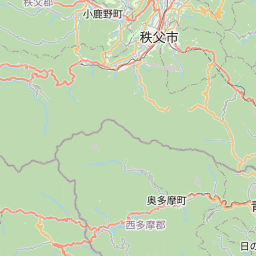
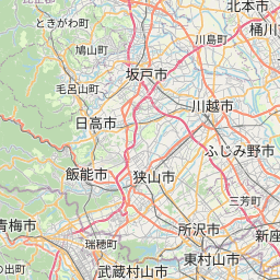
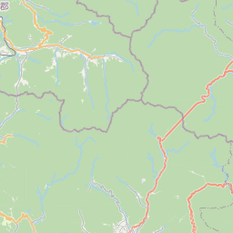
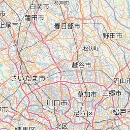
See on the Map

Major cities in the vicinity of Ōme, Japan
Tokyo ... (45 Km)
Yokohama ... (50 Km)
Shizuoka ... (121 Km)
Hamamatsu ... (185 Km)
Toyama ... (211 Km)
Nagoya ... (225 Km)
Niigata ... (238 Km)
Kanazawa ... (250 Km)
Sendai ... (310 Km)
Osaka ... (364 Km)
Kobe ... (390 Km)
Himeji ... (430 Km)
Akita ... (443 Km)
Morioka ... (465 Km)
Okayama ... (502 Km)
Hirosaki ... (545 Km)
Hachinohe ... (560 Km)
Aomori ... (574 Km)
Matsuyama ... (632 Km)
Hiroshima ... (640 Km)
Hakodate ... (677 Km)
Ōita ... (758 Km)
Tomakomai ... (787 Km)
Sapporo ... (828 Km)
Note: The distance between two locations is provided as an aerial distance for informational purposes only. While approximate, this calculation is based on reliable data and may vary slightly from the actual distance as reported in official forecasts and advisories.


