Current Local Time in Al Karamah, Jordan
07:19:46
Wednesday, 23 July 2025
| Country: | Jordan |
| Governorate: | Balqa |
| Languages: | Arabic |
| Currency: | Jordanian Dinar (JOD) |
| Lat/Long: | 31.9534°N / 35.5801°E |
| Elevation: | -252 m |
| Country Code: | +962 |
Weather
°C
Change Units for Weather
Now

Sunny
26 °C
Thu, 24
Sunny
39 / 31 °C
Fri, 25
Sunny
39 / 30 °C
Sat, 26
Sunny
39 / 29 °C
Time Zone


No DST
No Daylight Saving Time in 2025
Sun & Moon

Sunrise
05:47

Sunset
19:40

Day length
13 hours, 52 minutes -1m 12s shorter

Moon 4%
Rise - 03:51 Set - 18:58
Time Zone ConverterCompare the local time of two time zones, countries or cities of the world |  |
Al Karamah
Time Difference to major World Cities
Upcoming Holidays
Thursday, September 4, 2025 Prophet's Birthday
Thursday, December 25, 2025 Christmas Day
Thursday, January 1, 2026 New Year's Day
Friday, March 20, 2026 Eid al-Fitr
Saturday, March 21, 2026 Eid al-Fitr Holiday
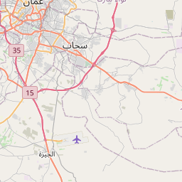
Airports
Amman Civil (Marka International) Airport, ADJ About 39 km from Al Karamah
Queen Alia International Airport, AMM About 47 km from Al Karamah
Ben Gurion International Airport, TLV About 66 km from Al Karamah
Bar Yehuda Airfield, MTZ About 72 km from Al Karamah
Haifa International Airport, HFA About 108 km from Al Karamah
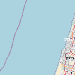
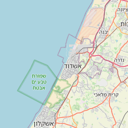
See on the Map
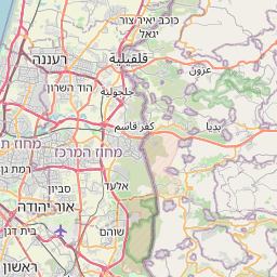
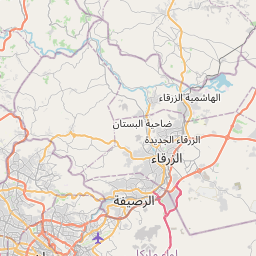
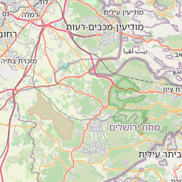

Major cities in the vicinity of Al Karamah, Jordan
Jericho ... (15 Km)
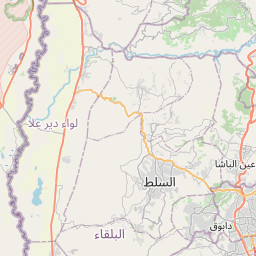
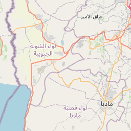
Amman ... (31 Km)
Ramallah ... (36 Km)
East Jerusalem ... (38 Km)
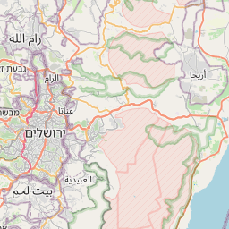
Jerusalem ... (39 Km)
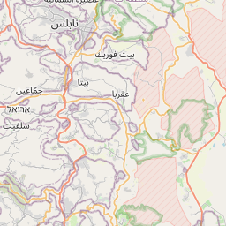
Nablus ... (42 Km)
Bethlehem ... (45 Km)
Zarqa ... (50 Km)
Modi'in-Maccabim-Re'ut ... (54 Km)
Jenin ... (63 Km)
Hebron ... (65 Km)
Irbid ... (72 Km)
Herzliya ... (73 Km)
Rehovot ... (73 Km)
Rishon LeZion ... (73 Km)
Tel Aviv ... (77 Km)
Afula ... (78 Km)
Netanya ... (80 Km)
Hadera ... (82 Km)
Arad ... (84 Km)
Kiryat Gat ... (86 Km)
Nazareth ... (87 Km)
Ashdod ... (89 Km)
Tiberias ... (94 Km)
Ashkelon ... (100 Km)
Kiryat Ata ... (105 Km)
Sderot ... (105 Km)
Beersheba ... (108 Km)
Haifa ... (109 Km)
Karmiel ... (110 Km)
Note: The distance between two locations is provided as an aerial distance for informational purposes only. While approximate, this calculation is based on reliable data and may vary slightly from the actual distance as reported in official forecasts and advisories.


