Current Local Time in Balpyk Bi, Kazakhstan (Balpyq Bi)
22:17:30
Sunday, 20 July 2025
| Country: | Kazakhstan |
| Region: | Jetisu |
| Languages: | Kazakh, Russian |
| Currency: | Tenge (KZT) |
| Lat/Long: | 44.9042°N / 78.2167°E |
| Elevation: | 572 m |
| Country Code: | +7 |
Weather
°C
Change Units for Weather
Now

Clear
25 °C
Mon, 21

Sunny
35 / 18 °C
Tue, 22
Sunny
35 / 17 °C
Wed, 23
Sunny
35 / 17 °C
Time Zone


No DST
No Daylight Saving Time in 2025
Sun & Moon

Sunrise
04:20

Sunset
19:26

Day length
15 hours, 06 minutes -1m 51s shorter

Moon 28%
Rise - 00:27 Set - 16:29
Time Zone ConverterCompare the local time of two time zones, countries or cities of the world |  |
Balpyk Bi
Time Difference to major World Cities
Upcoming Holidays
Saturday, August 30, 2025 Constitution Day
Monday, September 1, 2025 Day off for Constitution Day
Saturday, October 25, 2025 Republic Day
Tuesday, December 16, 2025 Independence Day
Thursday, January 1, 2026 New Year's Day
Airports
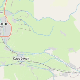
Taldykorgan Airport, TDK About 30 km from Balpyk Bi
Almaty International Airport, ALA About 196 km from Balpyk Bi
Issyk-Kul International Airport, IKU About 285 km from Balpyk Bi
Bole Alashankou Airport, BPL About 322 km from Balpyk Bi
Balkhash Airport, BXH About 333 km from Balpyk Bi
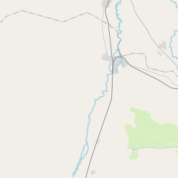
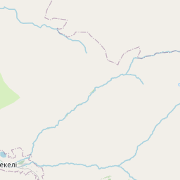
See on the Map
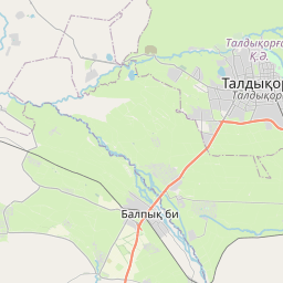

Major cities in the vicinity of Balpyk Bi, Kazakhstan
Almaty ... (211 Km)
Karakol ... (270 Km)
Tokmok ... (329 Km)
Bishkek ... (366 Km)
Kara-Balta ... (421 Km)
Aksu ... (448 Km)
Karamay ... (528 Km)
Taraz ... (591 Km)
Semey ... (631 Km)
Kashgar ... (632 Km)
Oskemen ... (652 Km)
Osh ... (657 Km)
Andijan ... (663 Km)
Karagandy ... (667 Km)
Fergana ... (727 Km)
Shymkent ... (751 Km)
Ürümqi ... (756 Km)
Pavlodar ... (826 Km)
Note: The distance between two locations is provided as an aerial distance for informational purposes only. While approximate, this calculation is based on reliable data and may vary slightly from the actual distance as reported in official forecasts and advisories.


