Current Local Time in Otegen Batyr, Kazakhstan
08:25:40
Saturday, 26 July 2025
| Country: | Kazakhstan |
| Region: | Almaty |
| Languages: | Kazakh, Russian |
| Currency: | Tenge (KZT) |
| Lat/Long: | 43.4250°N / 77.0216°E |
| Elevation: | 635 m |
| Country Code: | +7 |
Weather
°C
Change Units for Weather
Now

Partly cloudy
34 °C
Sun, 27

Sunny
39 / 22 °C
Mon, 28

Patchy rain nearby
35 / 18 °C
Tue, 29
Patchy rain nearby
34 / 19 °C
Time Zone


No DST
No Daylight Saving Time in 2025
Sun & Moon

Sunrise
04:36

Sunset
19:20

Day length
14 hours, 44 minutes -2m 1s shorter

Moon 2%
Rise - 06:57 Set - 21:29
Time Zone ConverterCompare the local time of two time zones, countries or cities of the world |  |
Otegen Batyr
Time Difference to major World Cities
Upcoming Holidays
Saturday, August 30, 2025 Constitution Day
Monday, September 1, 2025 Day off for Constitution Day
Saturday, October 25, 2025 Republic Day
Tuesday, December 16, 2025 Independence Day
Thursday, January 1, 2026 New Year's Day
Airports
Almaty International Airport, ALA About 8 km from Otegen Batyr
Issyk-Kul International Airport, IKU About 97 km from Otegen Batyr
Manas International Airport, FRU About 210 km from Otegen Batyr
Taldykorgan Airport, TDK About 220 km from Otegen Batyr
Aksu Hongqipo Airport, AKU About 361 km from Otegen Batyr
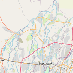
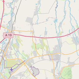
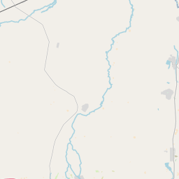
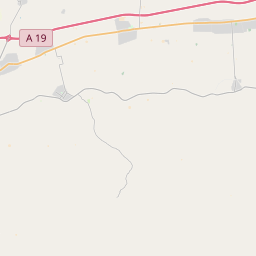
See on the Map

Major cities in the vicinity of Otegen Batyr, Kazakhstan
Almaty ... (21 Km)
Karakol ... (154 Km)
Tokmok ... (156 Km)
Bishkek ... (205 Km)
Kara-Balta ... (266 Km)
Aksu ... (366 Km)
Kashgar ... (448 Km)
Taraz ... (461 Km)
Osh ... (475 Km)
Andijan ... (486 Km)
Fergana ... (549 Km)
Shymkent ... (618 Km)
Karamay ... (668 Km)
Tashkent ... (678 Km)
Khujand ... (704 Km)
Hotan ... (743 Km)
Karagandy ... (770 Km)
Istaravshan ... (771 Km)
Khorog ... (805 Km)
Note: The distance between two locations is provided as an aerial distance for informational purposes only. While approximate, this calculation is based on reliable data and may vary slightly from the actual distance as reported in official forecasts and advisories.


