Current Local Time in Tugyl, Kazakhstan
17:57:21
Sunday, 20 July 2025
| Country: | Kazakhstan |
| Region: | East Kazakhstan |
| Languages: | Kazakh, Russian |
| Currency: | Tenge (KZT) |
| Lat/Long: | 47.7249°N / 84.2051°E |
| Elevation: | 406 m |
| Country Code: | +7 |
Weather
°C
Change Units for Weather
Now

Patchy rain nearby
25 °C
Mon, 21

Sunny
26 / 13 °C
Tue, 22
Sunny
25 / 15 °C
Wed, 23
Sunny
25 / 13 °C
Time Zone


No DST
No Daylight Saving Time in 2025
Sun & Moon

Sunrise
03:46

Sunset
19:12

Day length
15 hours, 26 minutes -2m 7s shorter

Moon 28%
Rise - 00:00 Set - 16:13
Time Zone ConverterCompare the local time of two time zones, countries or cities of the world |  |
Tugyl
Time Difference to major World Cities
Upcoming Holidays
Saturday, August 30, 2025 Constitution Day
Monday, September 1, 2025 Day off for Constitution Day
Saturday, October 25, 2025 Republic Day
Tuesday, December 16, 2025 Independence Day
Thursday, January 1, 2026 New Year's Day
Airports
Burqin Kanas Airport, KJI About 215 km from Tugyl
Ust-Kamenogorsk Airport, UKK About 286 km from Tugyl
Altay Xuedu Airport, AAT About 290 km from Tugyl
Bole Alashankou Airport, BPL About 347 km from Tugyl
Semipalatinsk Airport, PLX About 411 km from Tugyl
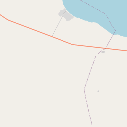
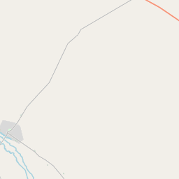
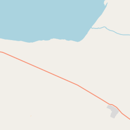
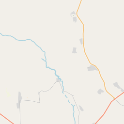
See on the Map


Major cities in the vicinity of Tugyl, Kazakhstan
Karamay ... (244 Km)
Oskemen ... (275 Km)
Altay ... (294 Km)
Semey ... (415 Km)
Ölgii ... (448 Km)
Gorno-Altaysk ... (487 Km)
Ürümqi ... (508 Km)
Khovd ... (555 Km)
Barnaul ... (626 Km)
Turpan ... (658 Km)
Novokuznetsk ... (702 Km)
Prokopyevsk ... (707 Km)
Pavlodar ... (724 Km)
Karakol ... (740 Km)
Almaty ... (755 Km)
Aksu ... (793 Km)
Karasuk ... (795 Km)
Novosibirsk ... (819 Km)
Note: The distance between two locations is provided as an aerial distance for informational purposes only. While approximate, this calculation is based on reliable data and may vary slightly from the actual distance as reported in official forecasts and advisories.


