Current Local Time in Antsohimbondrona, Madagascar
07:58:41
Wednesday, 23 July 2025
| Country: | Madagascar |
| Region: | Diana |
| Languages: | Malagasy, French |
| Currency: | Malagasy Ariary (MGA) |
| Lat/Long: | 13.0900°S / 48.8575°E |
| Elevation: | 9 m |
| Country Code: | +261 |
Weather
°C
Change Units for Weather
Now

Sunny
23 °C
Thu, 24
Sunny
32 / 16 °C
Fri, 25
Sunny
32 / 17 °C
Sat, 26

Patchy rain nearby
32 / 19 °C
Time Zone


No DST
No Daylight Saving Time in 2025
Sun & Moon

Sunrise
06:07

Sunset
17:35

Day length
11 hours, 27 minutes +26s longer

Moon 4%
Rise - 04:44 Set - 16:15
Time Zone ConverterCompare the local time of two time zones, countries or cities of the world |  |
Antsohimbondrona
Time Difference to major World Cities
Upcoming Holidays
Friday, August 15, 2025 Assumption Day
Saturday, November 1, 2025 All Saints' Day
Thursday, December 25, 2025 Christmas Day
Thursday, January 1, 2026 New Year's Day
Sunday, March 8, 2026 International Women's Day
Airports
Fascene Airport, NOS About 64 km from Antsohimbondrona
Arrachart Airport, DIE About 95 km from Antsohimbondrona
Vohemar Airport, VOH About 128 km from Antsohimbondrona
Andapa Airport, ZWA About 192 km from Antsohimbondrona
Sambava Airport, SVB About 194 km from Antsohimbondrona
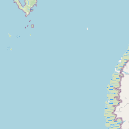
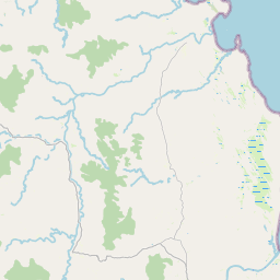
See on the Map
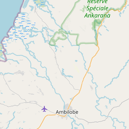


Major cities in the vicinity of Antsohimbondrona, Madagascar
Ambanja ... (79 Km)
Antsiranana ... (99 Km)
Vohemar ... (128 Km)
Sambava ... (192 Km)
Pamandzi ... (389 Km)
Mamoudzou ... (394 Km)
Bandrele ... (398 Km)
Dembeni ... (398 Km)
Koungou ... (398 Km)
Mahajanga ... (400 Km)
Bandraboua ... (407 Km)
Fenoarivo Atsinanana ... (481 Km)
Ambatondrazaka ... (529 Km)
Moroni ... (628 Km)
Moramanga ... (655 Km)
Antananarivo ... (663 Km)
Arivonimamo ... (682 Km)
Ambatolampy ... (716 Km)
Ambositra ... (846 Km)
Note: The distance between two locations is provided as an aerial distance for informational purposes only. While approximate, this calculation is based on reliable data and may vary slightly from the actual distance as reported in official forecasts and advisories.


