Current Local Time in San, Mali
03:09:23
Wednesday, 23 July 2025
| Country: | Mali |
| Region: | Ségou |
| Languages: | Bambara, Bobo, Bozo, French |
| Currency: | West African CFA Franc (XOF) |
| Lat/Long: | 13.2944°N / 4.8988°W |
| Elevation: | 279 m |
| Country Code: | +223 |
Weather
°C
Change Units for Weather
Now

Patchy rain nearby
26 °C
Thu, 24

Patchy rain nearby
32 / 25 °C
Fri, 25
Patchy rain nearby
31 / 25 °C
Sat, 26

Moderate rain
29 / 25 °C
Time Zone


No DST
No Daylight Saving Time in 2025
Sun & Moon

Sunrise
06:03

Sunset
18:49

Day length
12 hours, 46 minutes -27s shorter

Moon 4%
Rise - 04:29 Set - 17:58
Time Zone ConverterCompare the local time of two time zones, countries or cities of the world |  |
San
Time Difference to major World Cities
Upcoming Holidays
Friday, September 5, 2025 The Prophet's Birthday
Friday, September 12, 2025 Baptism of the Prophet
Monday, September 22, 2025 Independence Day
Thursday, December 25, 2025 Christmas Day
Airports
Mopti Airport, MZI About 162 km from San
Bobo Dioulasso Airport, BOY About 245 km from San
Modibo Keita International Airport, BKO About 341 km from San
Ouagadougou Airport, OUA About 382 km from San
Timbuktu Airport, TOM About 433 km from San
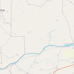
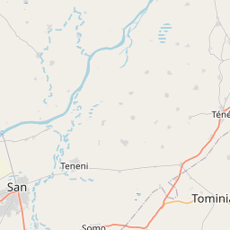
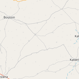
See on the Map

Major cities in the vicinity of San, Mali
Koutiala ... (119 Km)
Ségou ... (147 Km)
Mopti ... (153 Km)
Niono ... (156 Km)
Dédougou ... (180 Km)
Sikasso ... (236 Km)
Bobo-Dioulasso ... (244 Km)
Ouahigouya ... (271 Km)
Douentza ... (283 Km)
Koudougou ... (299 Km)
Bamako ... (344 Km)
Ouagadougou ... (380 Km)
Kaya ... (413 Km)
Ferkessédougou ... (414 Km)
Korhogo ... (433 Km)
Timbuktu ... (436 Km)
Néma ... (448 Km)
Siguiri ... (510 Km)
Gourma-Rharous ... (511 Km)
Dori ... (533 Km)
Kankan ... (579 Km)
Fada N'gourma ... (587 Km)
Gao ... (617 Km)
Tamale ... (619 Km)
Bouaké ... (623 Km)
Bondoukou ... (626 Km)
Ayorou ... (647 Km)
Berekum ... (697 Km)
Dormaa Ahenkro ... (706 Km)
Techiman ... (712 Km)
Note: The distance between two locations is provided as an aerial distance for informational purposes only. While approximate, this calculation is based on reliable data and may vary slightly from the actual distance as reported in official forecasts and advisories.


