Current Local Time in Iguala, Guerrero, Mexico (Iguala de la Independencia)
02:10:02
Friday, 25 July 2025
| Country: | Mexico |
| State: | Guerrero (GR) |
| Languages: | Spanish, Nahuatl, Yucatec Maya |
| Currency: | Mexican Peso (MXN) |
| Lat/Long: | 18.3448°N / 99.5397°W |
| Elevation: | 812 m |
| Country Code: | +52 |
Weather
°C
Change Units for Weather
Now

Mist
22 °C
Sat, 26

Patchy rain nearby
33 / 19 °C
Sun, 27

Moderate rain
32 / 19 °C
Mon, 28
Patchy rain nearby
29 / 17 °C
Time Zone


No DST
No Daylight Saving Time in 2025
Sun & Moon

Sunrise
06:14

Sunset
19:15

Day length
13 hours, 00 minutes -41s shorter

Moon 0%
Rise - 08:00 Set - 21:17
Time Zone ConverterCompare the local time of two time zones, countries or cities of the world |  |
Iguala
Time Difference to major World Cities
Upcoming Holidays
Tuesday, September 16, 2025 Independence Day
Monday, November 17, 2025 Revolution Day
Friday, December 12, 2025 Day of the Virgin of Guadalupe
Thursday, December 25, 2025 Christmas Day
Thursday, January 1, 2026 New Year's Day
Airports
Cuernavaca - General Mariano Matamoros Airport, CVJ About 62 km from Iguala
Licenciado Adolfo López Mateos International Airport, TLC About 110 km from Iguala
Licenciado Benito Juarez International Airport, MEX About 131 km from Iguala
Hermanos Serdán International Airport, PBC About 153 km from Iguala
Felipe Ángeles International Airport, NLU About 165 km from Iguala
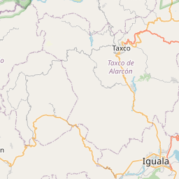
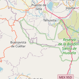
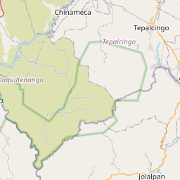
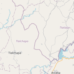
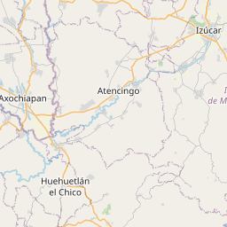
See on the Map


Major cities in the vicinity of Iguala, Mexico
Cuernavaca ... (73 Km)
Toluca ... (105 Km)
Mexico City ... (128 Km)
Puebla ... (160 Km)
Acapulco ... (169 Km)
Morelia ... (231 Km)
Orizaba ... (263 Km)
Santiago de Querétaro ... (265 Km)
Xalapa ... (307 Km)
Veracruz ... (370 Km)
León ... (382 Km)
Tampico ... (466 Km)
Guadalajara ... (475 Km)
Aguascalientes ... (487 Km)
Coatzacoalcos ... (537 Km)
Mezcales ... (658 Km)
Tepic ... (661 Km)
Villahermosa ... (698 Km)
Tuxtla Gutiérrez ... (705 Km)
San Cristóbal de las Casas ... (753 Km)
Saltillo ... (802 Km)
Note: The distance between two locations is provided as an aerial distance for informational purposes only. While approximate, this calculation is based on reliable data and may vary slightly from the actual distance as reported in official forecasts and advisories.


