Current Local Time in Xicoténcatl, Tamaulipas, Mexico
09:26:16
Saturday, 26 July 2025
| Country: | Mexico |
| State: | Tamaulipas (TM) |
| Languages: | Spanish, Nahuatl, Yucatec Maya |
| Currency: | Mexican Peso (MXN) |
| Lat/Long: | 22.9952°N / 98.9439°W |
| Elevation: | 106 m |
| Country Code: | +52 |
Weather
°C
Change Units for Weather
Now

Overcast
28 °C
Sun, 27
Overcast
29 / 24 °C
Mon, 28

Partly Cloudy
35 / 23 °C
Tue, 29

Patchy rain nearby
34 / 22 °C
Time Zone


No DST
No Daylight Saving Time in 2025
Sun & Moon

Sunrise
06:04

Sunset
19:20

Day length
13 hours, 15 minutes -53s shorter

Moon 2%
Rise - 08:48 Set - 21:57
Time Zone ConverterCompare the local time of two time zones, countries or cities of the world |  |
Xicoténcatl
Time Difference to major World Cities
Upcoming Holidays
Tuesday, September 16, 2025 Independence Day
Monday, November 17, 2025 Revolution Day
Friday, December 12, 2025 Day of the Virgin of Guadalupe
Thursday, December 25, 2025 Christmas Day
Thursday, January 1, 2026 New Year's Day
Airports
General Pedro Jose Mendez International Airport, CVM About 79 km from Xicoténcatl
General Francisco Javier Mina International Airport, TAM About 135 km from Xicoténcatl
Ponciano Arriaga International Airport, SLP About 220 km from Xicoténcatl
Querétaro Intercontinental Airport, QRO About 294 km from Xicoténcatl
El Tajín National Airport, PAZ About 307 km from Xicoténcatl
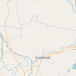
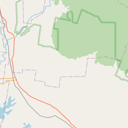
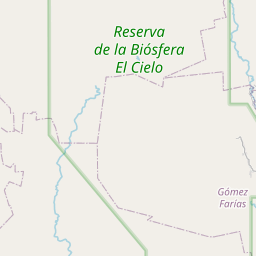
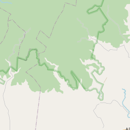
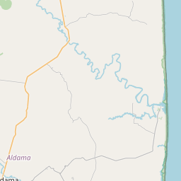
See on the Map


Major cities in the vicinity of Xicoténcatl, Mexico
Tampico ... (140 Km)
Santiago de Querétaro ... (306 Km)
Monterrey ... (330 Km)
Saltillo ... (341 Km)
Reynosa ... (346 Km)
Matamoros ... (351 Km)
León ... (351 Km)
McAllen ... (364 Km)
Aguascalientes ... (366 Km)
Mexico City ... (397 Km)
Toluca ... (419 Km)
Morelia ... (434 Km)
Xalapa ... (438 Km)
Puebla ... (446 Km)
Cuernavaca ... (454 Km)
Orizaba ... (499 Km)
Nuevo Laredo ... (502 Km)
Monclova ... (502 Km)
Veracruz ... (515 Km)
Guadalajara ... (524 Km)
Torreón ... (534 Km)
Durango ... (593 Km)
Tepic ... (634 Km)
Piedras Negras ... (653 Km)
Acapulco ... (689 Km)
Mezcales ... (701 Km)
Coatzacoalcos ... (714 Km)
San Antonio ... (716 Km)
Mazatlán ... (764 Km)
Parral ... (807 Km)
Note: The distance between two locations is provided as an aerial distance for informational purposes only. While approximate, this calculation is based on reliable data and may vary slightly from the actual distance as reported in official forecasts and advisories.


