Current Local Time in Hakha, Myanmar
10:35:39
Tuesday, 22 July 2025
| Country: | Myanmar |
| State: | Chin |
| Languages: | Burmese |
| Currency: | Kyat (MMK) |
| Lat/Long: | 22.6421°N / 93.6041°E |
| Elevation: | 1867 m |
| Country Code: | +95 |
Weather
°C
Change Units for Weather
Now

Patchy rain nearby
27 °C
Wed, 23

Moderate rain
27 / 18 °C
Thu, 24
Moderate rain
23 / 18 °C
Fri, 25
Moderate rain
21 / 18 °C
Time Zone


No DST
No Daylight Saving Time in 2025
Sun & Moon

Sunrise
05:43

Sunset
19:01

Day length
13 hours, 17 minutes -46s shorter

Moon 10%
Rise - 02:10 Set - 16:30
Time Zone ConverterCompare the local time of two time zones, countries or cities of the world |  |
Hakha
Time Difference to major World Cities
Upcoming Holidays
Sunday, October 5, 2025 Full Moon Day of Thadingyut Holiday (Buddhist Lent ends)
Monday, October 6, 2025 Full Moon Day of Thadingyut Holiday (Buddhist Lent ends)
Tuesday, October 7, 2025 Full Moon Day of Thadingyut Holiday (Buddhist Lent ends)
Wednesday, October 8, 2025 Full Moon Day of Thadingyut Holiday (Buddhist Lent ends)
Tuesday, November 4, 2025 Full Moon Day of Tazaungmone
Airports
Lengpui Airport, AJL About 167 km from Hakha
Shah Amanat International Airport, CGP About 189 km from Hakha
Cox's Bazar Airport, CXB About 215 km from Hakha
Imphal Airport, IMF About 237 km from Hakha
Silchar Airport, IXS About 260 km from Hakha
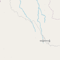
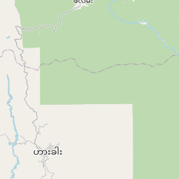
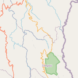
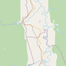
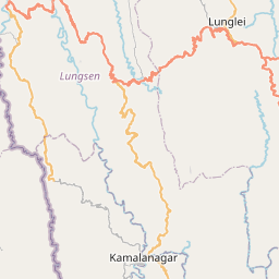
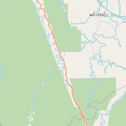
See on the Map

Major cities in the vicinity of Hakha, Myanmar
Aizawl ... (151 Km)
Monywa ... (169 Km)
Chittagong ... (185 Km)
Churachandpur ... (189 Km)
Imphal ... (244 Km)
Silchar ... (256 Km)
Comilla ... (264 Km)
Mandalay ... (267 Km)
Agartala ... (271 Km)
Sylhet ... (307 Km)
Barisal ... (333 Km)
Narayanganj ... (336 Km)
Kohima ... (340 Km)
Dhaka ... (352 Km)
Dimapur ... (363 Km)
Shillong ... (370 Km)
Mymensingh ... (401 Km)
Taunggyi ... (410 Km)
Naypyidaw ... (414 Km)
Khulna ... (416 Km)
Nagaon ... (422 Km)
Lashio ... (426 Km)
Golaghat ... (433 Km)
Guwahati ... (436 Km)
Jamalpur ... (451 Km)
Tezpur ... (451 Km)
Pyay ... (457 Km)
Jorhat ... (461 Km)
Myitkyina ... (490 Km)
Sivasagar ... (494 Km)
Note: The distance between two locations is provided as an aerial distance for informational purposes only. While approximate, this calculation is based on reliable data and may vary slightly from the actual distance as reported in official forecasts and advisories.


