Current Local Time in Igbara-Odo, Ekiti, Nigeria
1
2
3
4
5
6
7
8
9
10
11
12
11:10:23
Monday, 30 June 2025
| Country: | Nigeria |
| State: | Ekiti (EK) |
| Languages: | English |
| Currency: | Naira (NGN) |
| Lat/Long: | 7.5038°N / 5.0625°E |
| Elevation: | 371 m |
| Country Code: | +234 |
Weather
°C
Change Units for Weather
Now

Patchy rain nearby
25 °C
Tue, 1

Moderate rain
23 / 21 °C
Wed, 2
Moderate rain
24 / 20 °C
Thu, 3
Moderate rain
26 / 21 °C
Time Zone


No DST
No Daylight Saving Time in 2025
Sun & Moon

Sunrise
06:27

Sunset
18:59

Day length
12 hours, 32 minutes -4s shorter

Moon 24%
Rise - 10:55
Set - 23:22
Time Zone ConverterCompare the local time of two time zones, countries or cities of the world |  |
Igbara-Odo
Time Difference to major World Cities
Upcoming Holidays
Friday, September 5, 2025 Id el Maulud
Wednesday, October 1, 2025 National Day
Thursday, December 25, 2025 Christmas Day
Friday, December 26, 2025 Boxing Day
Thursday, January 1, 2026 New Year's Day
Airports
Akure Airport, AKR About 39 km from Igbara-Odo
Ibadan Airport, IBA About 121 km from Igbara-Odo
Ilorin International Airport, ILR About 121 km from Igbara-Odo
Benin Airport, BNI About 145 km from Igbara-Odo
Murtala Muhammed International Airport, LOS About 218 km from Igbara-Odo
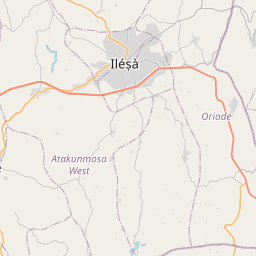
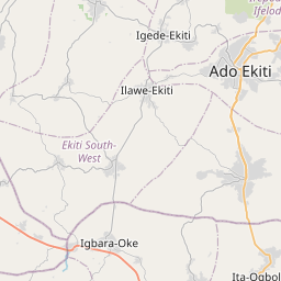
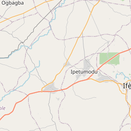
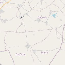
See on the Map

Major cities in the vicinity of Igbara-Odo, Nigeria
Ilorin ... (124 Km)
Ibadan ... (128 Km)
Benin City ... (143 Km)
Lagos ... (218 Km)
Warri ... (234 Km)
Asaba ... (236 Km)
Porto-Novo ... (291 Km)
Enugu ... (293 Km)
Owerri ... (311 Km)
Tchaourou ... (312 Km)
Cotonou ... (317 Km)
Abuja ... (318 Km)
Parakou ... (339 Km)
Port Harcourt ... (371 Km)
Makurdi ... (384 Km)
Kaduna ... (423 Km)
Lomé ... (451 Km)
Sokodé ... (461 Km)
Kara ... (482 Km)
Zaria ... (497 Km)
Jos ... (499 Km)
Natitingou ... (510 Km)
Gusau ... (548 Km)
Malabo ... (586 Km)
Bamenda ... (588 Km)
Buea ... (593 Km)
Luba ... (593 Km)
Tema ... (596 Km)
Koforidua ... (609 Km)
Bauchi ... (611 Km)
Note: The distance between two locations is provided as an aerial distance for informational purposes only. While approximate, this calculation is based on reliable data and may vary slightly from the actual distance as reported in official forecasts and advisories.