Current Local Time in San Pablo, Philippines
11:53:34
Saturday, 26 July 2025
| Country: | Philippines |
| Region: | Calabarzon |
| Languages: | Filipino, English |
| Currency: | Philippine Peso (PHP) |
| Lat/Long: | 14.0642°N / 121.3233°E |
| Elevation: | 237 m |
| Country Code: | +63 |
| Alternative Names: | San Pablo City, City of San Pablo, Lungsod ng San Pablo |
Weather
°C
Change Units for Weather
Now

Partly Cloudy
31 °C
Sun, 27

Patchy rain nearby
31 / 23 °C
Mon, 28
Partly Cloudy
31 / 25 °C
Tue, 29
Patchy rain nearby
31 / 25 °C
Time Zone


No DST
No Daylight Saving Time in 2025
Sun & Moon

Sunrise
05:37

Sunset
18:24

Day length
12 hours, 47 minutes -31s shorter

Moon 2%
Rise - 06:45 Set - 19:44
Time Zone ConverterCompare the local time of two time zones, countries or cities of the world |  |
San Pablo
Time Difference to major World Cities
Upcoming Holidays
Thursday, August 21, 2025 Ninoy Aquino Day
Monday, August 25, 2025 National Heroes Day
Friday, September 5, 2025 Maulid un-Nabi
Saturday, November 1, 2025 All Saints' Day
Sunday, November 30, 2025 Bonifacio Day
Airports
Ninoy Aquino International Airport, MNL About 59 km from San Pablo
Sangley Point Airport, SGL About 66 km from San Pablo
Marinduque Airport, MRQ About 95 km from San Pablo
Mamburao Airport, MBO About 123 km from San Pablo
Lubang Airport, LBX About 134 km from San Pablo
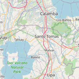
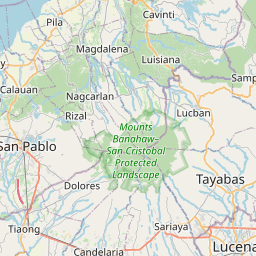
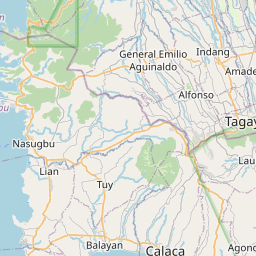
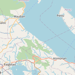
See on the Map

Major cities in the vicinity of San Pablo, Philippines
Lucena ... (35 Km)
Batangas ... (45 Km)
Taguig ... (58 Km)
Manila ... (70 Km)
Caloocan ... (75 Km)
San Fernando ... (128 Km)
Angeles ... (144 Km)
Baguio ... (273 Km)
San Fernando ... (303 Km)
Iloilo City ... (395 Km)
Bacolod ... (416 Km)
Cebu City ... (503 Km)
Dumaguete ... (571 Km)
Aborlan ... (596 Km)
Narra ... (626 Km)
Dapitan ... (646 Km)
Brooke's Point ... (699 Km)
Cagayan de Oro ... (719 Km)
Iligan City ... (723 Km)
Pagadian ... (729 Km)
Zamboanga ... (799 Km)
Cotabato City ... (826 Km)
Note: The distance between two locations is provided as an aerial distance for informational purposes only. While approximate, this calculation is based on reliable data and may vary slightly from the actual distance as reported in official forecasts and advisories.


