Current Local Time in Surigao, Philippines
11:49:26
Thursday, 24 July 2025
| Country: | Philippines |
| Region: | Caraga |
| Languages: | Filipino, English |
| Currency: | Philippine Peso (PHP) |
| Lat/Long: | 9.7820°N / 125.4910°E |
| Elevation: | 43 m |
| Country Code: | +63 |
| Alternative Names: | Surigao City, City of Surigao, Siyudad nan Surigao, Dakbayan sa Surigao, Lungsod ng Surigao |
Weather
°C
Change Units for Weather
Now

Sunny
31 °C
Fri, 25

Patchy rain nearby
31 / 26 °C
Sat, 26
Patchy rain nearby
31 / 27 °C
Sun, 27

Partly Cloudy
31 / 27 °C
Time Zone


No DST
No Daylight Saving Time in 2025
Sun & Moon

Sunrise
05:26

Sunset
18:02

Day length
12 hours, 35 minutes -20s shorter

Moon 1%
Rise - 04:36 Set - 17:45
Time Zone ConverterCompare the local time of two time zones, countries or cities of the world |  |
Surigao
Time Difference to major World Cities
Upcoming Holidays
Thursday, August 21, 2025 Ninoy Aquino Day
Monday, August 25, 2025 National Heroes Day
Friday, September 5, 2025 Maulid un-Nabi
Saturday, November 1, 2025 All Saints' Day
Sunday, November 30, 2025 Bonifacio Day
Airports
Surigao Airport, SUG About 3 km from Surigao
Bancasi Airport, BXU About 92 km from Surigao
Camiguin Airport, CGM About 104 km from Surigao
Tandag Airport, TDG About 109 km from Surigao
Daniel Z. Romualdez Airport, TAC About 169 km from Surigao
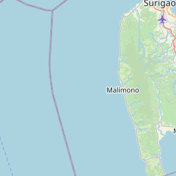
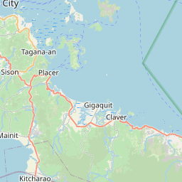
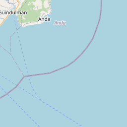
See on the Map


Major cities in the vicinity of Surigao, Philippines
Cagayan de Oro ... (172 Km)
Cebu City ... (185 Km)
Iligan City ... (220 Km)
Dumaguete ... (245 Km)
Tagum ... (262 Km)
Dapitan ... (264 Km)
Bacolod ... (295 Km)
Davao City ... (302 Km)
Pagadian ... (313 Km)
Cotabato City ... (317 Km)
Iloilo City ... (337 Km)
General Santos ... (409 Km)
Zamboanga ... (492 Km)
Lucena ... (625 Km)
Batangas ... (654 Km)
Taguig ... (714 Km)
Manila ... (726 Km)
Caloocan ... (731 Km)
Aborlan ... (762 Km)
San Fernando ... (783 Km)
Narra ... (786 Km)
Angeles ... (799 Km)
Brooke's Point ... (847 Km)
Note: The distance between two locations is provided as an aerial distance for informational purposes only. While approximate, this calculation is based on reliable data and may vary slightly from the actual distance as reported in official forecasts and advisories.


