Current Local Time in Petra-Dubrava, Russia
1
2
3
4
5
6
7
8
9
10
11
12
16:04:48
Friday, 27 June 2025
| Country: | Russia |
| Oblast: | Samara |
| Languages: | Russian |
| Currency: | Russian Ruble (RUB) |
| Lat/Long: | 53.2948°N / 50.3703°E |
| Elevation: | 144 m |
| Country Code: | +7 |
Weather
°C
Change Units for Weather
Now

Moderate or heavy rain with thunder
15 °C
Sat, 28

Patchy rain nearby
18 / 12 °C
Sun, 29
Patchy rain nearby
22 / 12 °C
Mon, 30

Moderate rain
20 / 12 °C
Time Zone

Time Zone
SAMT (Samara Time) GMT/UTC +4 hours

No DST
No Daylight Saving Time in 2025
Sun & Moon

Sunrise
04:13

Sunset
21:09

Day length
16 hours, 56 minutes -39s shorter

Moon 3%
Rise - 05:50
Set - 23:06
Time Zone ConverterCompare the local time of two time zones, countries or cities of the world |  |
Petra-Dubrava
Time Difference to major World Cities
Airports
Kurumoch International Airport, KUF About 27 km from Petra-Dubrava
Ulyanovsk East Airport, ULY About 160 km from Petra-Dubrava
Ulyanovsk Baratayevka Airport, ULV About 178 km from Petra-Dubrava
Bugulma Airport, UUA About 218 km from Petra-Dubrava
Balakovo Airport, BWO About 239 km from Petra-Dubrava
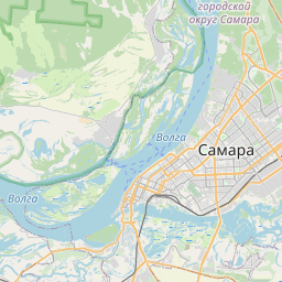
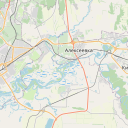
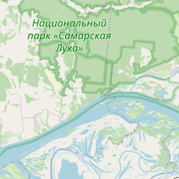
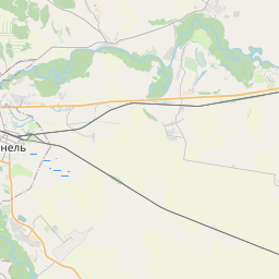
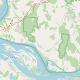
See on the Map

Major cities in the vicinity of Petra-Dubrava, Russia
Samara ... (17 Km)
Tolyatti ... (67 Km)
Dimitrovgrad ... (114 Km)
Syzran ... (127 Km)
Ulyanovsk ... (172 Km)
Pugachyov ... (177 Km)
Oral ... (240 Km)
Kuznetsk ... (252 Km)
Nizhnekamsk ... (276 Km)
Kazan ... (289 Km)
Naberezhnye Chelny ... (301 Km)
Aktau ... (340 Km)
Novouzensk ... (350 Km)
Saratov ... (353 Km)
Saransk ... (356 Km)
Penza ... (357 Km)
Orenburg ... (362 Km)
Kumertau ... (369 Km)
Salavat ... (369 Km)
Sterlitamak ... (370 Km)
Cheboksary ... (372 Km)
Sol-Iletsk ... (394 Km)
Ufa ... (398 Km)
Yoshkar-Ola ... (404 Km)
Serdobsk ... (424 Km)
Sarov ... (494 Km)
Kamyshin ... (496 Km)
Kstovo ... (507 Km)
Balashov ... (525 Km)
Nizhny Novgorod ... (529 Km)
Note: The distance between two locations is provided as an aerial distance for informational purposes only. While approximate, this calculation is based on reliable data and may vary slightly from the actual distance as reported in official forecasts and advisories.