Current Local Time in Kabarondo, Rwanda
06:19:46
Wednesday, 23 July 2025
| Country: | Rwanda |
| Languages: | Kinyarwanda, English, French, Swahili |
| Currency: | Rwandan Franc (RWF) |
| Lat/Long: | 2.0120°S / 30.5596°E |
| Elevation: | 1820 m |
| Country Code: | +250 |
Weather
°C
Change Units for Weather
Now

Partly cloudy
19 °C
Thu, 24

Sunny
29 / 18 °C
Fri, 25
Sunny
29 / 16 °C
Sat, 26
Sunny
29 / 18 °C
Time Zone


No DST
No Daylight Saving Time in 2025
Sun & Moon

Sunrise
06:03

Sunset
18:04

Day length
12 hours, 00 minutes +4s longer

Moon 4%
Rise - 04:38 Set - 16:59
Time Zone ConverterCompare the local time of two time zones, countries or cities of the world |  |
Kabarondo
Time Difference to major World Cities
Upcoming Holidays
Friday, August 1, 2025 Umuganura Day
Friday, August 15, 2025 Assumption Day
Thursday, December 25, 2025 Christmas Day
Friday, December 26, 2025 Boxing Day
Thursday, January 1, 2026 New Year's Day
Airports
Kigali International Airport, KGL About 47 km from Kabarondo
Gisenyi Airport, GYI About 149 km from Kabarondo
Goma International Airport, GOM About 152 km from Kabarondo
Kamembe Airport, KME About 190 km from Kabarondo
Bukavu Kavumu Airport, BKY About 197 km from Kabarondo
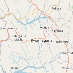
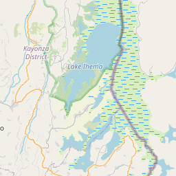
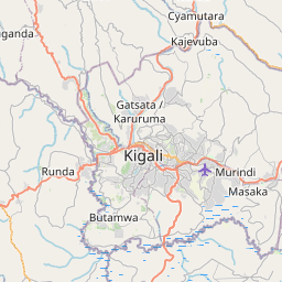
See on the Map

Major cities in the vicinity of Kabarondo, Rwanda
Kigali ... (56 Km)
Muyinga ... (96 Km)
Musanze ... (118 Km)
Mbarara ... (156 Km)
Gitega ... (172 Km)
Bujumbura ... (201 Km)
Mwanza ... (266 Km)
Butembo ... (275 Km)
Fort Portal ... (298 Km)
Beni ... (305 Km)
Kampala ... (343 Km)
Hoima ... (392 Km)
Bunia ... (399 Km)
Tabora ... (417 Km)
Kalemie ... (460 Km)
Kisii ... (491 Km)
Kisumu ... (514 Km)
Kindu ... (526 Km)
Bungoma ... (529 Km)
Kakamega ... (531 Km)
Lira ... (540 Km)
Arua ... (563 Km)
Gulu ... (567 Km)
Eldoret ... (594 Km)
Kitale ... (598 Km)
Isiro ... (625 Km)
Nakuru ... (641 Km)
Kisangani ... (659 Km)
Naivasha ... (669 Km)
Manono ... (681 Km)
Note: The distance between two locations is provided as an aerial distance for informational purposes only. While approximate, this calculation is based on reliable data and may vary slightly from the actual distance as reported in official forecasts and advisories.


