Current Local Time in Luuq, Somalia
09:05:04
Tuesday, 22 July 2025
| Country: | Somalia |
| Region: | Gedo |
| Languages: | Somali, Arabic |
| Currency: | Somali Shilling (SOS) |
| Lat/Long: | 3.8031°N / 42.5461°E |
| Elevation: | 152 m |
| Country Code: | +252 |
Weather
°C
Change Units for Weather
Now

Sunny
26 °C
Wed, 23

Partly Cloudy
32 / 22 °C
Thu, 24
Partly Cloudy
31 / 22 °C
Fri, 25
Sunny
32 / 21 °C
Time Zone


No DST
No Daylight Saving Time in 2025
Sun & Moon

Sunrise
06:07

Sunset
18:25

Day length
12 hours, 17 minutes -7s shorter

Moon 10%
Rise - 03:31 Set - 16:16
Time Zone ConverterCompare the local time of two time zones, countries or cities of the world |  |
Luuq
Time Difference to major World Cities
Upcoming Holidays
Friday, September 5, 2025 The Prophet's Birthday
Thursday, January 1, 2026 New Year's Day
Friday, January 16, 2026 Isra' and Mi'raj
Friday, March 20, 2026 Eid al-Fitr
Saturday, March 21, 2026 Eid al-Fitr Holiday
Airports
Gode Airport, GDE About 263 km from Luuq
Wajir Airport, WJR About 357 km from Luuq
Aden Adde International Airport, MGQ About 365 km from Luuq
Kebri Dahar Airport, ABK About 376 km from Luuq
Kismayo Airport, KMU About 465 km from Luuq
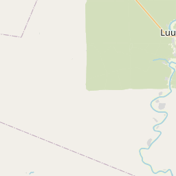
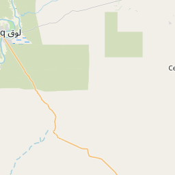
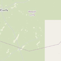
See on the Map


Major cities in the vicinity of Luuq, Somalia
Baidoa ... (145 Km)
Gode ... (264 Km)
Beledweyne ... (312 Km)
Qoryoley ... (314 Km)
Barawa ... (341 Km)
Wajir ... (358 Km)
Mogadishu ... (365 Km)
Kebri Dehar ... (378 Km)
Guriel ... (405 Km)
Jamaame ... (416 Km)
Dusmareb ... (467 Km)
Garissa ... (573 Km)
Hawassa ... (576 Km)
Harardhere ... (597 Km)
Arba Minch ... (605 Km)
Harar ... (614 Km)
Jijiga ... (618 Km)
Galkayo ... (633 Km)
Hargeisa ... (662 Km)
Hobyo ... (685 Km)
Borama ... (686 Km)
Meru ... (686 Km)
Addis Ababa ... (714 Km)
Burco ... (717 Km)
Nanyuki ... (740 Km)
Las Anod ... (744 Km)
Jimma ... (764 Km)
Kitui ... (765 Km)
Lodwar ... (774 Km)
Berbera ... (786 Km)
Note: The distance between two locations is provided as an aerial distance for informational purposes only. While approximate, this calculation is based on reliable data and may vary slightly from the actual distance as reported in official forecasts and advisories.


