Current Local Time in Al-Qusayr, Syria
1
2
3
4
5
6
7
8
9
10
11
12
14:30:27
Saturday, 17 May 2025
| Country: | Syria |
| Governorate: | Homs |
| Languages: | Arabic |
| Currency: | Syrian Pound (SYP) |
| Lat/Long: | 34.5083°N / 36.5824°E |
| Elevation: | 540 m |
| Country Code: | +963 |
Weather
°C
Change Units for Weather
Now

Sunny
33 °C
Sun, 18
Sunny
33 / 18 °C
Mon, 19
Sunny
29 / 14 °C
Tue, 20
Sunny
26 / 13 °C
Time Zone

Time Zone
EEST (Eastern European Summer Time)
GMT/UTC +3 hours

No DST
No Daylight Saving Time in 2025
Sun & Moon

Sunrise
05:29

Sunset
19:30

Day length
14 hours, 00 minutes
+1m 27s longer

Moon 83%
Rise - 00:00
Set - 08:50
Time Zone ConverterCompare the local time of two time zones, countries or cities of the world |  |
Al-Qusayr
Time Difference to major World Cities
Upcoming Holidays
Friday, June 6, 2025 Eid al-Adha
Friday, June 27, 2025 Muharram
Friday, September 5, 2025 The Prophet's Birthday
Monday, October 6, 2025 October Liberation Day
Thursday, December 25, 2025 Christmas Day
Airports
Rene Mouawad Air Base, KYE About 53 km from Al-Qusayr
Bassel Al-Assad International Airport, LTK About 115 km from Al-Qusayr
Damascus International Airport, DAM About 122 km from Al-Qusayr
Beirut Rafic Hariri International Airport, BEY About 126 km from Al-Qusayr
Palmyra Airport, PMS About 159 km from Al-Qusayr
See on the Map
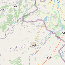
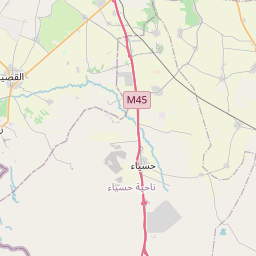
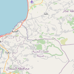
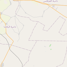


Major cities in the vicinity of Al-Qusayr, Syria
Homs ... (28 Km)
An-Nabek ... (57 Km)
Yabroud ... (61 Km)
Baalbek ... (66 Km)
Masyaf ... (66 Km)
Tripoli ... (69 Km)
Hama ... (71 Km)
Salamiyah ... (71 Km)
Tartus ... (77 Km)
Batroun ... (89 Km)
Baniyas ... (95 Km)
Byblos ... (96 Km)
Zahlé ... (97 Km)
Jounieh ... (107 Km)
Damascus ... (114 Km)
Beirut ... (121 Km)
Latakia ... (134 Km)
Sidon ... (154 Km)
Palmyra ... (157 Km)
Idlib ... (158 Km)
Nabatieh ... (162 Km)
Kiryat Shmona ... (172 Km)
Tyre ... (188 Km)
As-Safira ... (189 Km)
Aleppo ... (196 Km)
Safed ... (199 Km)
Ma'alot-Tarshiha ... (205 Km)
Karmiel ... (214 Km)
Tiberias ... (214 Km)
Nahariya ... (217 Km)
Note: The distance between two locations is provided as an aerial distance for informational purposes only. While approximate, this calculation is based on reliable data and may vary slightly from the actual distance as reported in official forecasts and advisories.